Address
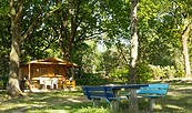
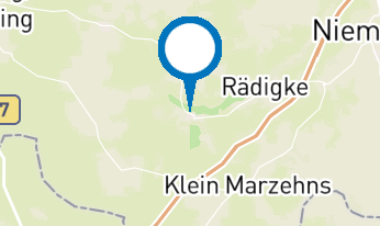
14823
Rädike
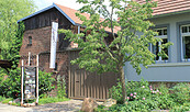
14827
Jeserig
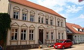
Tourismusverband Fläming e. V.
Zum Bahnhof 9
14547 Beelitz
Zum Bahnhof 9
14547 Beelitz