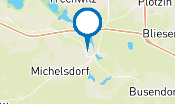
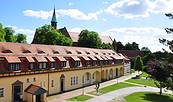
Address
Marktplatz
14797 Lehnin
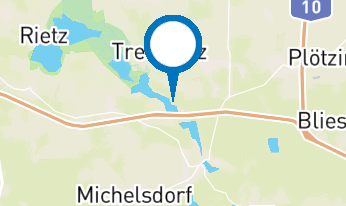
14797 Lehnin
Marktplatz
14797 Lehnin
14797 Lehnin
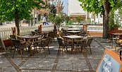
Tourismusverein "Kloster Lehnin" e.V.
Friedensstr. 3
14797 Kloster Lehnin
Friedensstr. 3
14797 Kloster Lehnin