Address
Leibscher Hauptstraße
15910 Leibsch
15910 Leibsch
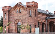
Bahnhof Halbe
Bahnhofstraße
15757 Halbe
Bahnhofstraße
15757 Halbe
Touristinformation Dahme-Seenland
Bahnhofsvorplatz 5
15711 Königs Wusterhausen
Bahnhofsvorplatz 5
15711 Königs Wusterhausen