From Fürstenberg/Havel to Dannenwalde

Hiking tours
Length: 23 km
0 Ratings of 5 (0)
0
0
0
0
0
How did you like your stay? You have already rated your stay.
Hiking tours
Length: 23 km
From €
Show availability & price

p.P. = pro Person, p.P./N = pro Person / Nacht, p.E./N = pro Einheit/ Nacht, EZ = Einzelzimmer, DZ = Doppelzimmer, FeWo = Holiday flats /home, App. = Appartement, Suite = Suite, FR = Frühstück, HP = Halbpension, VP = VollPension
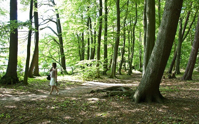
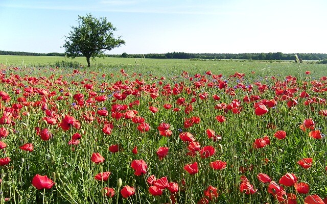
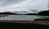
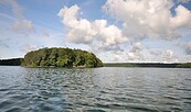
The Fürstenberg forests and lakeland landscape conservation area in all its beauty is provides the framework for this hike. First it is the beauty of the lakes and rivers, the stillness of the water, the far-reaching views of the landscape that impress. In the middle of all of this, there is an interesting, technical monument that is well worth seeing. On the second part of the hike, you can enjoy the landscape formed 15,000 years ago during the Ice Age, with its gentle hills, little streams and forest in various formations. The pine stands alternating with mixed forest with beech trees and a long, flat meadow valley with a stream provides variety.
Continue readingcollapse
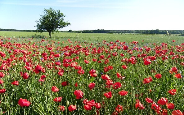
Ruppiner-Land-Rundwanderweg, Foto: Studio Prokopy
Length: 23 kilometres (7-8 hours)

Start: Fürstenberg/Havel

Finish: Dannenwalde

Logo/route sign: blue circle against a white background

How to get there: Take the RE5 (Rostock) from Berlin central station to Fürstenberg/Havel (about 1 hour).

Return journey: From Dannenwalde/Gransee, take the RE4359 (Elsterwerda) to Berlin central station (about 1 hour).

Route: Fürstenberg/Havel, Lake Stolpsee, Zootzen, along the River Havel, Bredereiche, Boltenhof, Dannenwalde/Gransee

Route description: Opposite the train station on the information panels you will find the blue line marking for the E10 as well as the blue dot of the Ruppiner Land round trail. Straight on, then left along the old Poststrasse past the tourist information centre and the church to Baalenseestrasse. Information panels explain the development of the waterside town of Fürstenberg. At the end of Gartenstrasse, a covered bridge connects the town centre with Havelpark and crosses the connection between Lake Baalensee to Lake Schwedtsee. The rail ferry technical monument is worth a short stop for information. The path leads through Siggelwiesen and later along by Lake Stolpsee. The route later follows the course of the River Havel to Bredereiche. A little way along the road, then along back roads through the village, back to the country road and straight on in the direction of Blumenow. Then left into the forest. There are no markings on the road but there are signposts in the ground on the left. A seemingly enchanted avenue leads to Boltenhof, another (asphalted) one to the country road. Pleasant forest paths and at the end a cycle path form the connection to Dannenwalde.

Possible combinations: Märkisch Overland Trail

Trail conditions/surface: Not specified

Maps/Literature: “Naturpark Uckermärkische Seen West: Topographische Freizeitkarte”, 1:50.000, Verlag: Landesvermessung und Geobasisinformation Brandenburg (1. Juni 2009), ISBN-13: 978-3749041602, Euro 6
Continue readingcollapse
The Fürstenberg forests and lakeland landscape conservation area in all its beauty is provides the framework for this hike. First it is the beauty of the lakes and rivers, the stillness of the water, the far-reaching views of the landscape that impress. In the middle of all of this, there is an interesting, technical monument that is well worth seeing. On the second part of the hike, you can enjoy the landscape formed 15,000 years ago during the Ice Age, with its gentle hills, little streams and forest in various formations. The pine stands alternating with mixed forest with beech trees and a long, flat meadow valley with a stream provides variety.
Continue readingcollapse
Ruppiner-Land-Rundwanderweg, Foto: Studio Prokopy
Length: 23 kilometres (7-8 hours)

Start: Fürstenberg/Havel

Finish: Dannenwalde

Logo/route sign: blue circle against a white background

How to get there: Take the RE5 (Rostock) from Berlin central station to Fürstenberg/Havel (about 1 hour).

Return journey: From Dannenwalde/Gransee, take the RE4359 (Elsterwerda) to Berlin central station (about 1 hour).

Route: Fürstenberg/Havel, Lake Stolpsee, Zootzen, along the River Havel, Bredereiche, Boltenhof, Dannenwalde/Gransee

Route description: Opposite the train station on the information panels you will find the blue line marking for the E10 as well as the blue dot of the Ruppiner Land round trail. Straight on, then left along the old Poststrasse past the tourist information centre and the church to Baalenseestrasse. Information panels explain the development of the waterside town of Fürstenberg. At the end of Gartenstrasse, a covered bridge connects the town centre with Havelpark and crosses the connection between Lake Baalensee to Lake Schwedtsee. The rail ferry technical monument is worth a short stop for information. The path leads through Siggelwiesen and later along by Lake Stolpsee. The route later follows the course of the River Havel to Bredereiche. A little way along the road, then along back roads through the village, back to the country road and straight on in the direction of Blumenow. Then left into the forest. There are no markings on the road but there are signposts in the ground on the left. A seemingly enchanted avenue leads to Boltenhof, another (asphalted) one to the country road. Pleasant forest paths and at the end a cycle path form the connection to Dannenwalde.

Possible combinations: Märkisch Overland Trail

Trail conditions/surface: Not specified

Maps/Literature: “Naturpark Uckermärkische Seen West: Topographische Freizeitkarte”, 1:50.000, Verlag: Landesvermessung und Geobasisinformation Brandenburg (1. Juni 2009), ISBN-13: 978-3749041602, Euro 6
Continue readingcollapse

Arrival planner

Bahnhofstraße

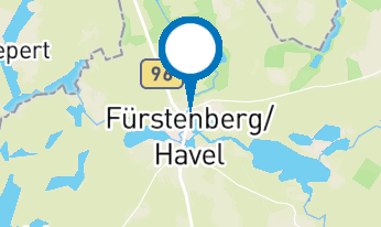
16798 Fürstenberg/Havel
Weather Today, 14. 9.

15 21
broken clouds

  • Tuesday
    14 24
  • Wednesday
    13 21

Brochures

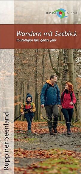
Wandern mit Seeblick - Tourentipps fürs ganze Jahr
View/order now
Urlaubsbroschüre: Deine Auszeit in der brandenburgischen Seenplatte
View/order now
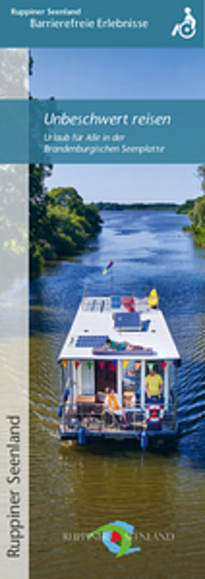
Unbeschwert reisen - Urlaub für Alle in der Brandenburgischen Seenplatte
View/order now
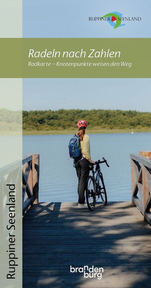
Radeln nach Zahlen - Knotenpunkt-Radkarte
View/order now
Bett + Kanu Faltblatt
View/order now
Havel-Radweg - von der Quelle bis zur Mündung
View/order now
Radweg Berlin-Kopenhagen
View/order now
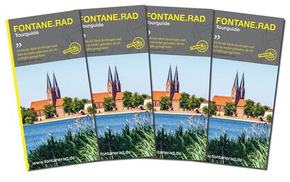
FONTANE.RAD Tourguide
View/order now
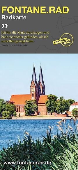
FONTANE.RAD Karte
FONTANE.RAD Karte
View/order now

Holiday region

Tourismusverband Ruppiner Seenland e. V.

Fischbänkenstraße 8
16816 Neuruppin

Tel.: +49 (0) 3391-659630
Fax: +49 (0) 3391-659632

Weather Today, 14. 9.

15 21
broken clouds

  • Tuesday
    14 24
  • Wednesday
    13 21

Alle Informationen, Zeiten und Preise werden regelmäßig geprüft und aktualisiert. Trotzdem können wir für die Richtigkeit der Daten keine Gewähr übernehmen. Wir empfehlen Ihnen, vor Ihrem Besuch telefonisch / per E-Mail oder über die Internetseiten des Anbieters den aktuellen Stand zu erfragen.

Call the TMB holiday hotline at +49 (0)331-200 47 47 (+49) 03391 659630 We are available for you: Mon - Fri 08:30 - 16:30.
Online booking

Thank you for visiting

This website has been developed with the latest technology. Unfortunately, you are using a browser that does not meet the latest technical requirements.

We therefore ask you to use an alternative browser (E.g. Google Chrome, Firefox or Edge) and we hope you enjoy browsing our website.

Logo