Havel Cycle Path

Bike tours
Länge: 396 km
0 Bewertungen 0 von 5 (0)
0
0
0
0
0
Wie hat dir der Aufenthalt gefallen? Du hast deinen Aufenthalt schon bewertet.
Bike tours
Länge: 396 km
ab €
Verfügbarkeit & Preis anzeigen

p.P. = pro Person, p.P./N = pro Person / Nacht, p.E./N = pro Einheit/ Nacht, EZ = Einzelzimmer, DZ = Doppelzimmer, FeWo = Ferienwohnung oder -haus, App. = Appartement, Suite = Suite, FR = Frühstück, HP = Halbpension, VP = VollPension
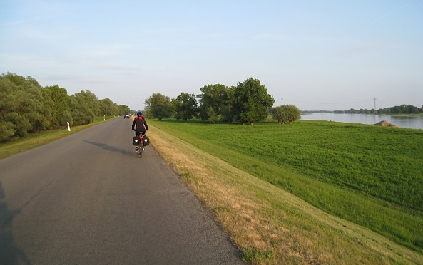
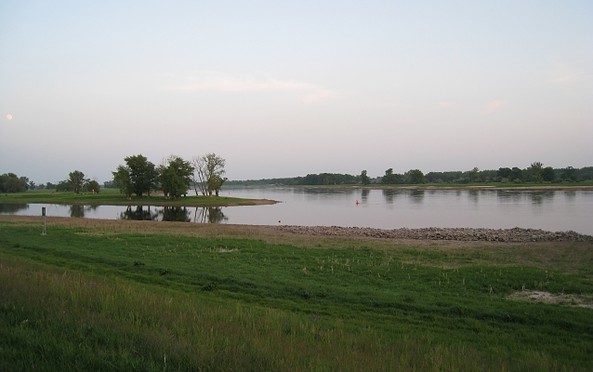
Accompany the River Havel for 396 km on its fantastic and varied course before it merges with River Elbe, along the numerous lakes lined up like pearls on a string, through woodlands and terminal moraine landscapes. The serenity of the nature reserve offers the perfect opportunity for observing the indigenous sea eagle in its natural habitat. Unspoiled nature and industrial culture peacefully coexist throughout the clay-pit landscapes, around the VossKanal or at the ‘Gnevsdorfer Vorfluter‘. Not to forget the architectual remnants of Prussian culture to be found in the many palaces, residences and parks along the shore.
aufklappeneinklappen
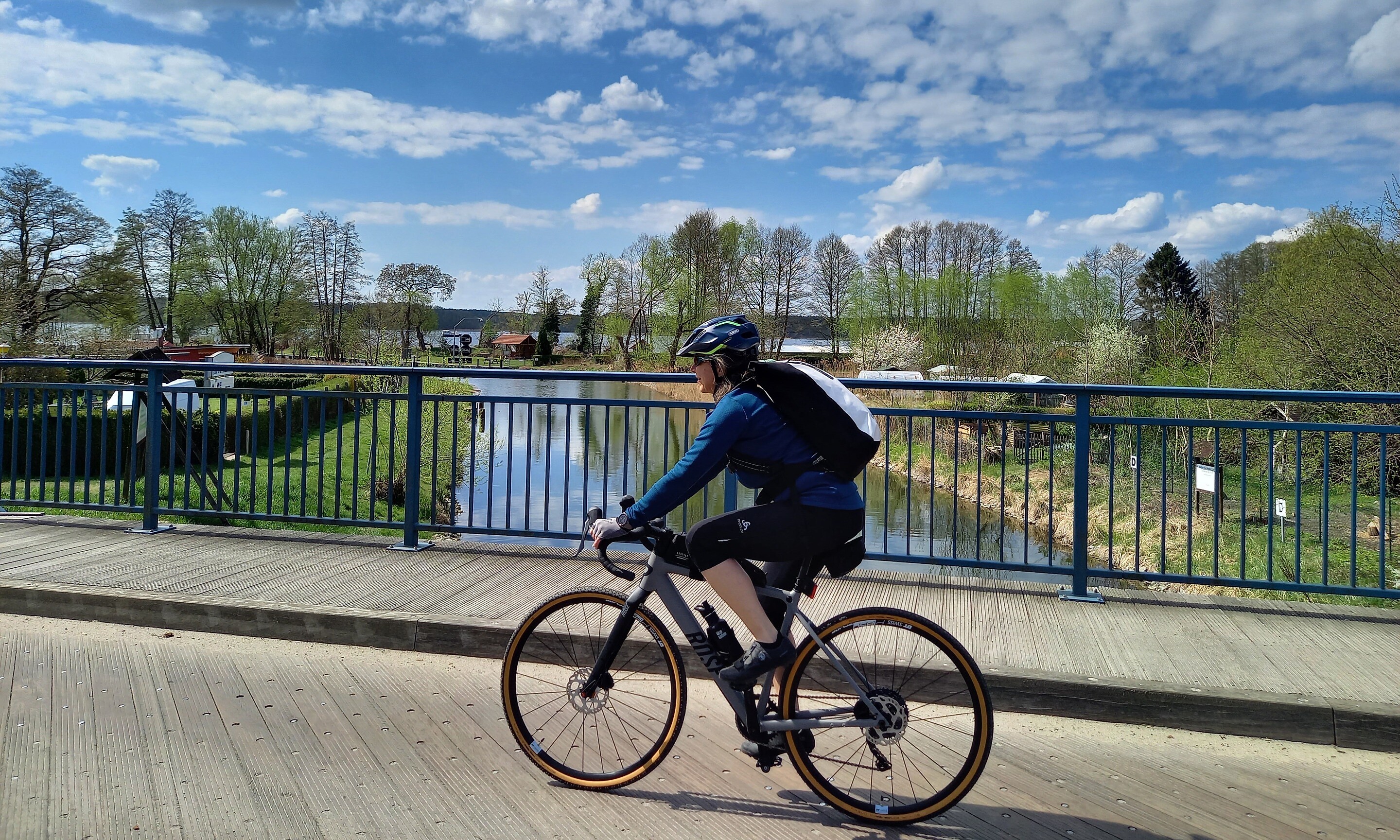
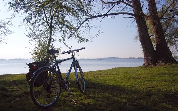
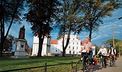
Radfahrerin in Himmelpfort, Foto: Michelle Engel, Lizenz: TV Ruppiner Seenland
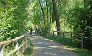
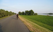
Havelradweg bei Brandenburg, Foto: TMB
Havelradweg bei Ketzin, Foto: TMB
Havelradweg bei Götz, Foto: TMB
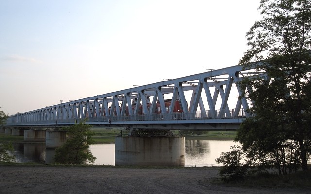
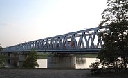
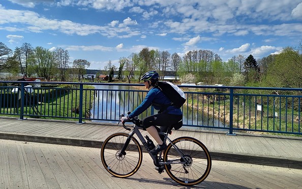
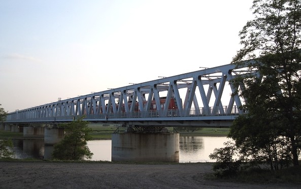
Brücke über die Havel, Foto: TMB
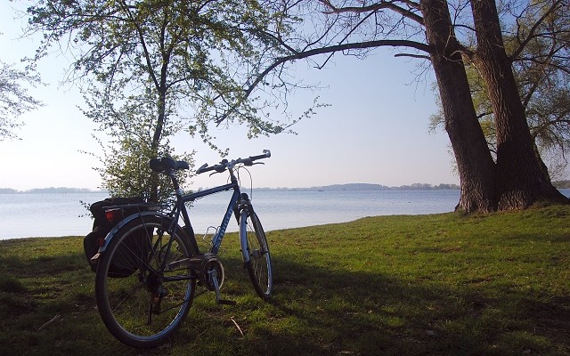
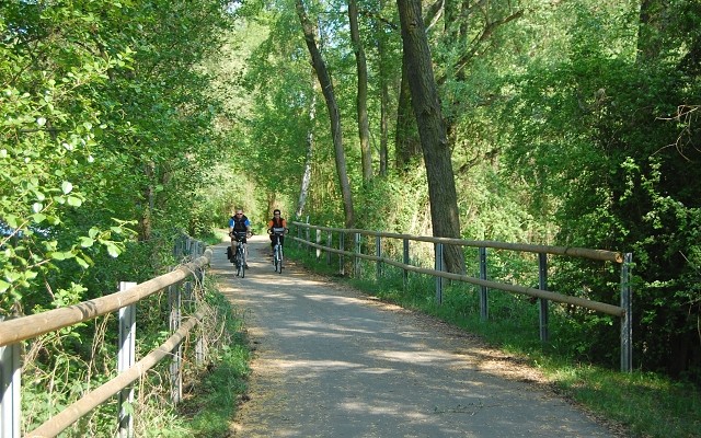
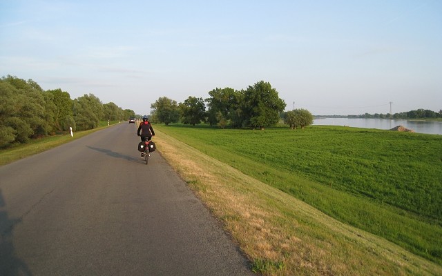
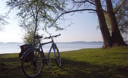
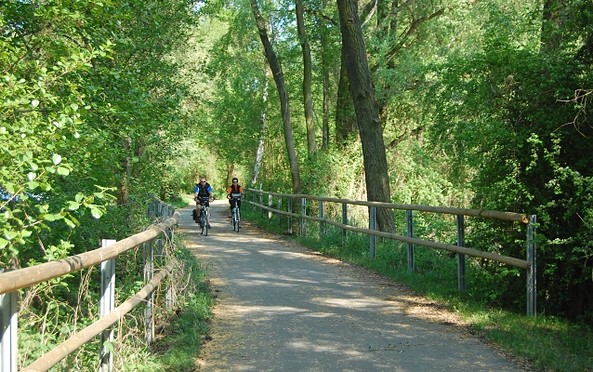
Der Havelradweg, Foto: TMB
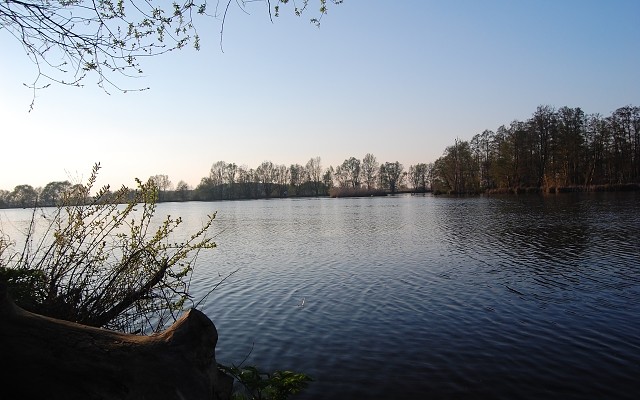
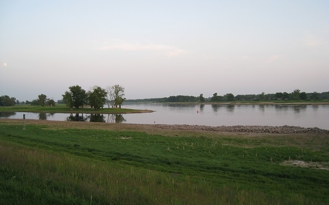
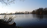
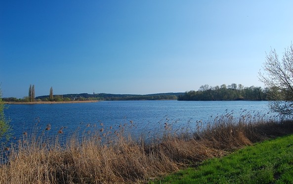
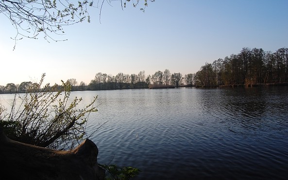
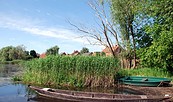
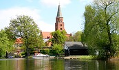
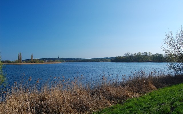
Die Havel, Foto: TMB
Havelradweg bei Werder, Foto: TMB
Length: 396 km

Start: Havelquelle in Ankershagen/Pieverstorf, accessible from Kratzeburg railway station - to the Havelquelle in the opposite direction another approx. 10 km, or Waren (Müritz) railway station - approx. 35 km to the Havelquelle, also signposted.

Finish: Gnevsdorf

Signposts

A dark blue direction sign saying “Havel Radweg“ in white letters, depicting symbols such as the curved light blue line and orange bicycle.

How to get there: Take the RE5 (Rostock) from Berlin central station to Kratzeburg. From here, you either cycle in the direction of Berlin of travel for about 10 kilometres in the opposite direction to start at the source of the River Havel (about 1.5 hours).

Return journey: From Gnevsdorf by bike approx. 16 km on the Elbe Cycle Path to Wittenberge. From here, RE2 (Cottbus) runs hourly to Berlin Hauptbahnhof (approx. 90 minutes).

Cycling Path Conditions /Path Construction

The paths are in excellent condition in Brandenburg’s Federal State county Oberhavel, extending from Mecklenburg-Western Pomerania to the border of Berlin. They are entirely paved or go on quiet side roads.

Underway in Potsdam available cycling paths can be used. There is a brand new cycling path between Potsdam and Brandenburg an der Havel. Between the latter and Havelberg cyclists partly follow the rural roads or go on bike paths built right next to the roads.

Map Recommendations

"Bikeline Havel-Radweg mit Havelland-Radweg." Von der Mecklenburgischen Seenplatte an die Elbe. 1:50.000. Radtourenbuch, Erscheinungsdatum 03/2021, Herausgeber: Verlag Esterbauer

"KOMPASS Fahrrad-Tourenkarte Havel-Radweg", 1:50.000 Fahrrad-Tourenkarte. GPS-genau. 1:50000. Karte, Erscheinungsdatum: 18.03.2021, Herausgeber: Kompass-Karten GmbH

"Radwander- und Wanderkarte Havel-Radweg", 1:50.000 (mit Zick-Zack Faltung)

Entlang der Havel von der Quelle in Ankershagen über Fürstenberg, Berlin und Potsdam bis Havelberg an der Elbe, Erscheinungsdatum 01.10.2021, Herausgeber: Barthel Verlag
aufklappeneinklappen
Accompany the River Havel for 396 km on its fantastic and varied course before it merges with River Elbe, along the numerous lakes lined up like pearls on a string, through woodlands and terminal moraine landscapes. The serenity of the nature reserve offers the perfect opportunity for observing the indigenous sea eagle in its natural habitat. Unspoiled nature and industrial culture peacefully coexist throughout the clay-pit landscapes, around the VossKanal or at the ‘Gnevsdorfer Vorfluter‘. Not to forget the architectual remnants of Prussian culture to be found in the many palaces, residences and parks along the shore.
aufklappeneinklappen
Radfahrerin in Himmelpfort, Foto: Michelle Engel, Lizenz: TV Ruppiner Seenland
Havelradweg bei Brandenburg, Foto: TMB
Havelradweg bei Ketzin, Foto: TMB
Havelradweg bei Götz, Foto: TMB
Brücke über die Havel, Foto: TMB
Der Havelradweg, Foto: TMB
Die Havel, Foto: TMB
Havelradweg bei Werder, Foto: TMB
Length: 396 km

Start: Havelquelle in Ankershagen/Pieverstorf, accessible from Kratzeburg railway station - to the Havelquelle in the opposite direction another approx. 10 km, or Waren (Müritz) railway station - approx. 35 km to the Havelquelle, also signposted.

Finish: Gnevsdorf

Signposts

A dark blue direction sign saying “Havel Radweg“ in white letters, depicting symbols such as the curved light blue line and orange bicycle.

How to get there: Take the RE5 (Rostock) from Berlin central station to Kratzeburg. From here, you either cycle in the direction of Berlin of travel for about 10 kilometres in the opposite direction to start at the source of the River Havel (about 1.5 hours).

Return journey: From Gnevsdorf by bike approx. 16 km on the Elbe Cycle Path to Wittenberge. From here, RE2 (Cottbus) runs hourly to Berlin Hauptbahnhof (approx. 90 minutes).

Cycling Path Conditions /Path Construction

The paths are in excellent condition in Brandenburg’s Federal State county Oberhavel, extending from Mecklenburg-Western Pomerania to the border of Berlin. They are entirely paved or go on quiet side roads.

Underway in Potsdam available cycling paths can be used. There is a brand new cycling path between Potsdam and Brandenburg an der Havel. Between the latter and Havelberg cyclists partly follow the rural roads or go on bike paths built right next to the roads.

Map Recommendations

"Bikeline Havel-Radweg mit Havelland-Radweg." Von der Mecklenburgischen Seenplatte an die Elbe. 1:50.000. Radtourenbuch, Erscheinungsdatum 03/2021, Herausgeber: Verlag Esterbauer

"KOMPASS Fahrrad-Tourenkarte Havel-Radweg", 1:50.000 Fahrrad-Tourenkarte. GPS-genau. 1:50000. Karte, Erscheinungsdatum: 18.03.2021, Herausgeber: Kompass-Karten GmbH

"Radwander- und Wanderkarte Havel-Radweg", 1:50.000 (mit Zick-Zack Faltung)

Entlang der Havel von der Quelle in Ankershagen über Fürstenberg, Berlin und Potsdam bis Havelberg an der Elbe, Erscheinungsdatum 01.10.2021, Herausgeber: Barthel Verlag
aufklappeneinklappen

Anreiseplaner

Mühlenstraße

17237 Pieverstorf

Wetter Heute, 19. 9.

13 21
Bedeckt

  • Sonntag
    13 20
  • Montag
    12 17

Urlaubsregion

Tourismusverband Havelland e.V.

Theodor-Fontane-Straße 10
14641 Nauen OT Ribbeck
Tel.: 033237-859030
Fax: 033237-859040

Wetter Heute, 19. 9.

13 21
Bedeckt

  • Sonntag
    13 20
  • Montag
    12 17

Alle Informationen, Zeiten und Preise werden regelmäßig geprüft und aktualisiert. Trotzdem können wir für die Richtigkeit der Daten keine Gewähr übernehmen. Wir empfehlen Ihnen, vor Ihrem Besuch telefonisch / per E-Mail oder über die Internetseiten des Anbieters den aktuellen Stand zu erfragen.

Anruf bei der TMB Urlaubshotline unter 0331-200 47 47 (+49) 03391 659630 Wir sind telefonisch für Sie da: Mo-Fr 08:30-16:30 Uhr.

Vielen Dank für deinen Besuch auf www.ruppiner-seenland.de
Diese Webseite wurde auf dem technisch aktuellsten Stand entwickelt. Leider benutzt du einen Browser, der nicht den technischen Anforderungen entspricht.

Wir bitten dich daher einen alternativen Browser (z.B. Google Chrome, Firefox oder Edge) zu verwenden und wünschen dir weiterhin viel Spaß auf unserer Webseite.

Logo www.ruppiner-seenland.de