Canoeing tour on Rheinsberger Rhin

Canoeing
Länge: 17 km
0 Bewertungen 0 von 5 (0)
0
0
0
0
0
Wie hat dir der Aufenthalt gefallen? Du hast deinen Aufenthalt schon bewertet.
Canoeing
Länge: 17 km
ab €
Verfügbarkeit & Preis anzeigen

p.P. = pro Person, p.P./N = pro Person / Nacht, p.E./N = pro Einheit/ Nacht, EZ = Einzelzimmer, DZ = Doppelzimmer, FeWo = Ferienwohnung oder -haus, App. = Appartement, Suite = Suite, FR = Frühstück, HP = Halbpension, VP = VollPension
+++  Navigation on the Rheinsberg Rhin will be prohibited with immediate effect from Friday 14 August 2026 due to low water levels. +++
aufklappeneinklappen
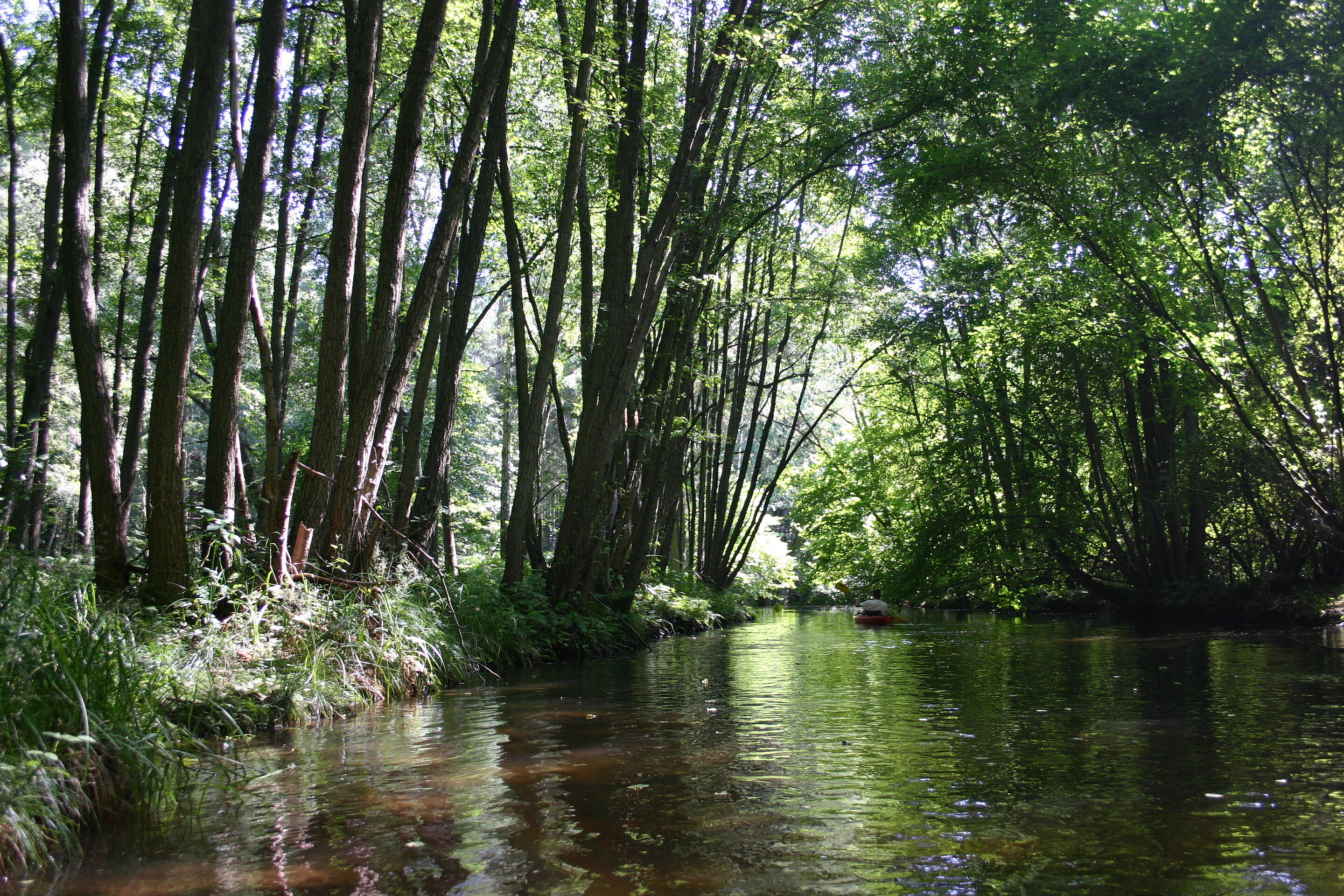
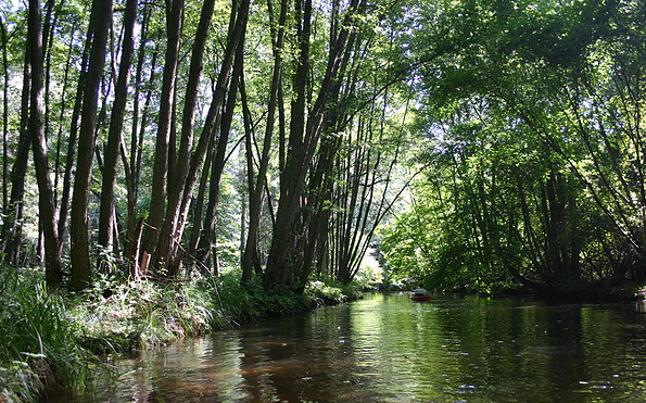
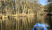
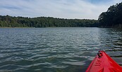
Waldlandschaft, Foto: Madlen Wetzel, Lizenz: Tourismusverband Ruppiner Seenland e. V.
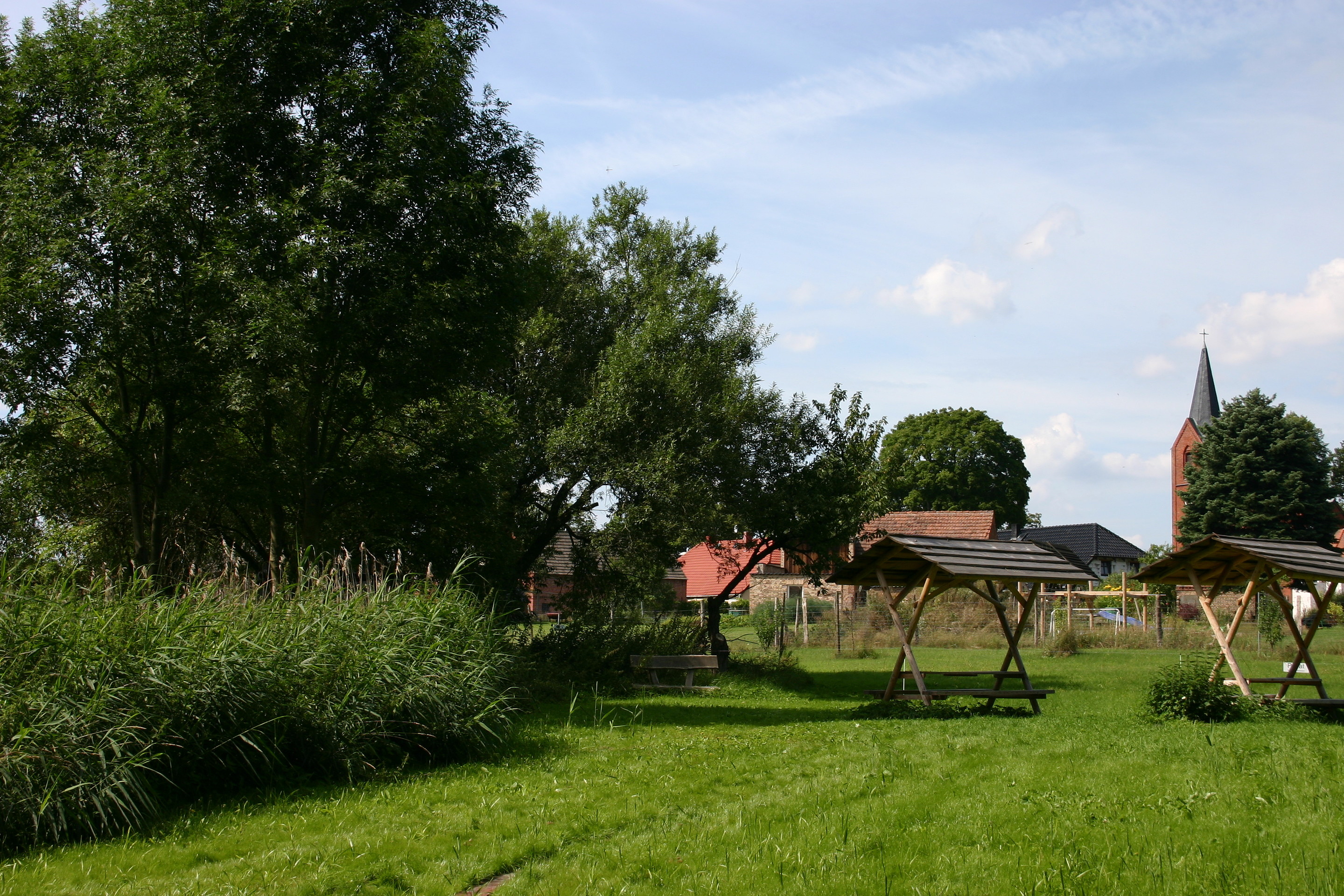
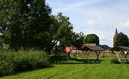
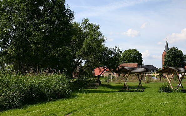
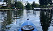
Rastplatz in Zechow, Foto: Madlen Wetzel, Lizenz: Tourismusverband Ruppiner Seenland e. V.
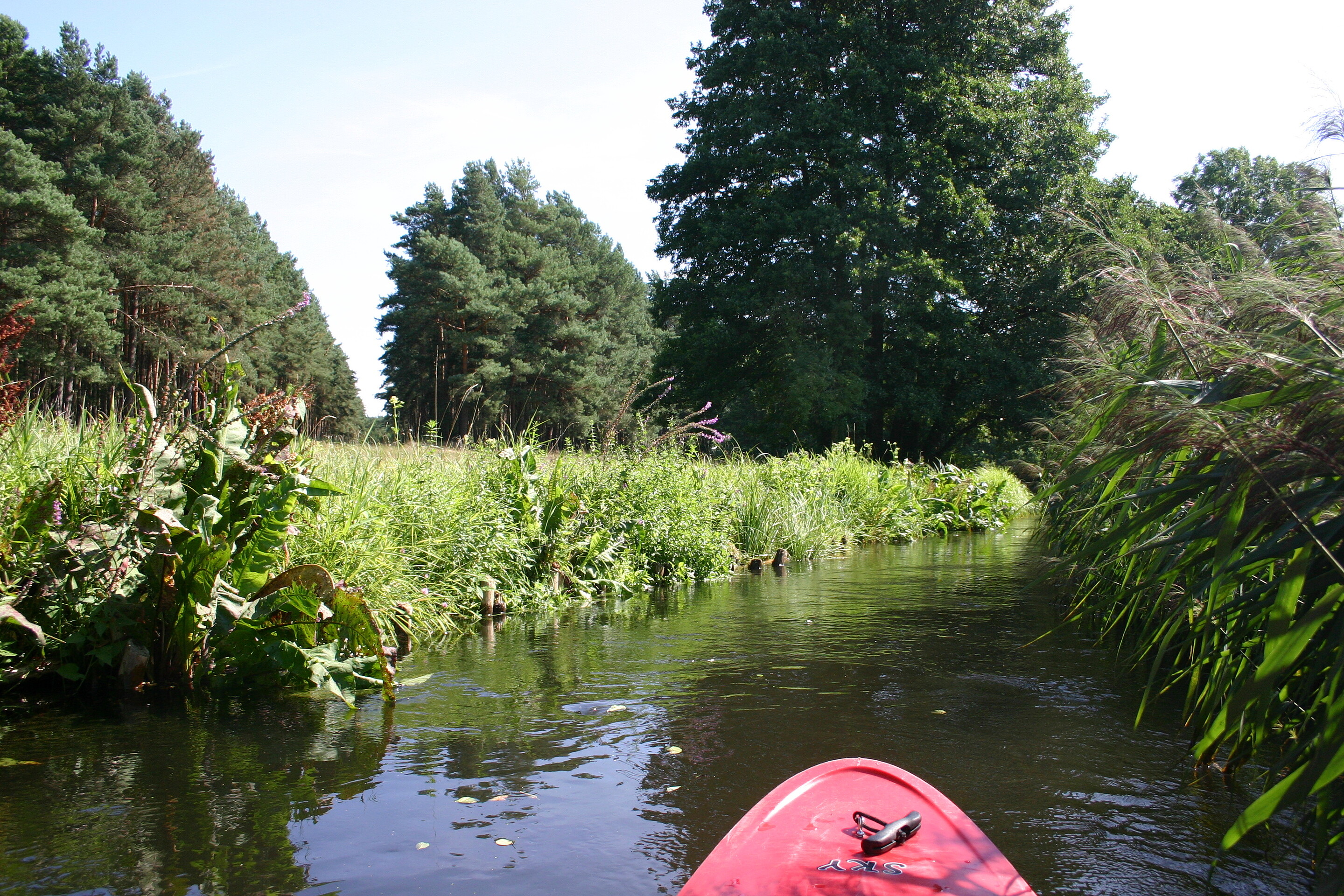
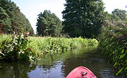
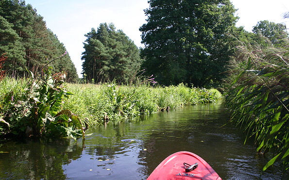
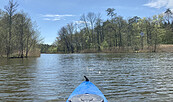
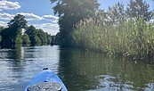
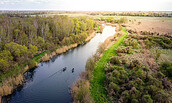
Wiesenlandschaft, Foto: Madlen Wetzel, Lizenz: Tourismusverband Ruppiner Seenland e. V.
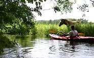
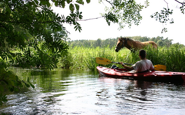
Pferd am Ufer, Foto: Madlen Wetzel, Lizenz: Tourismusverband Ruppiner Seenland e. V.
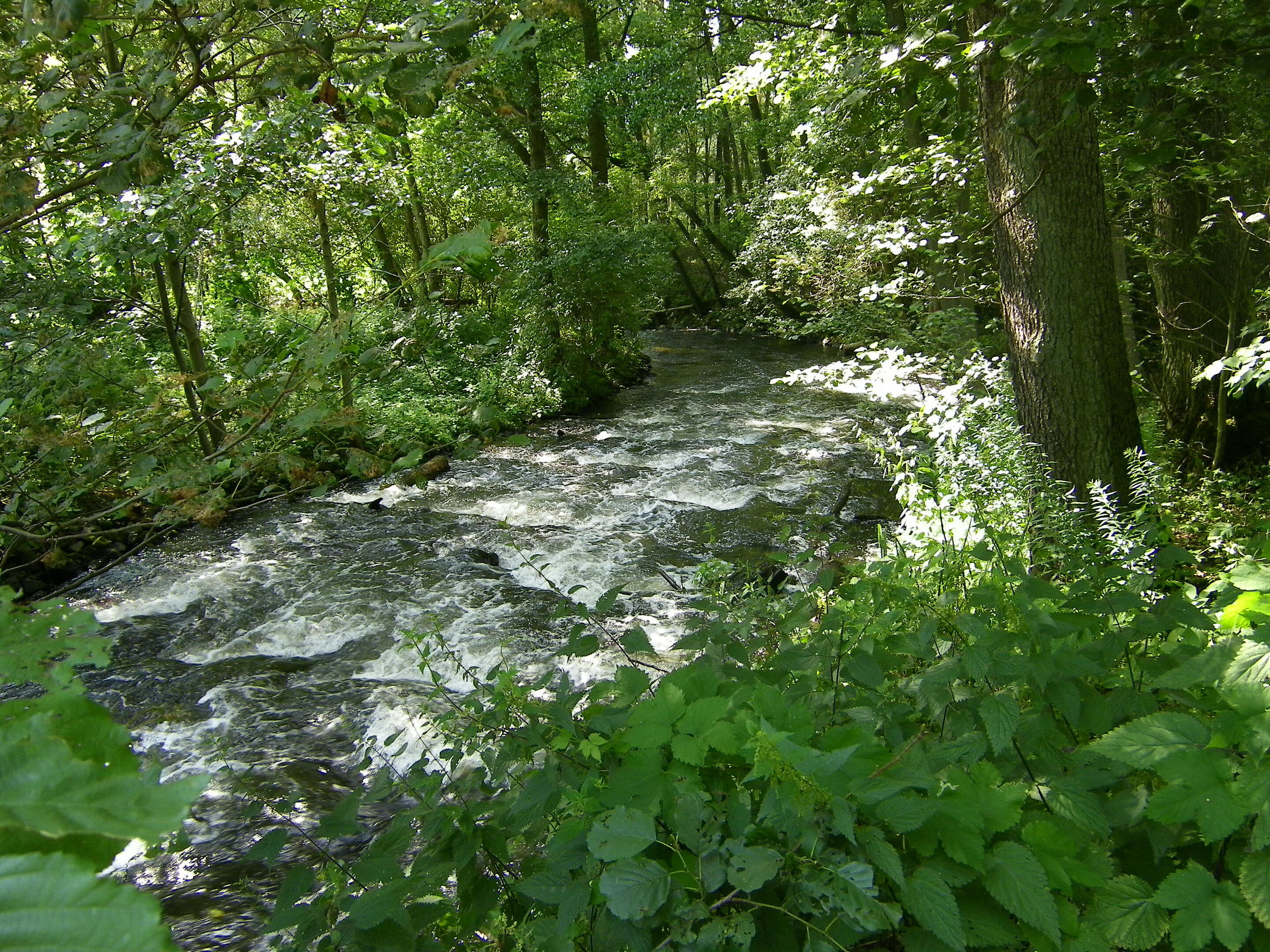
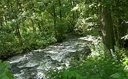
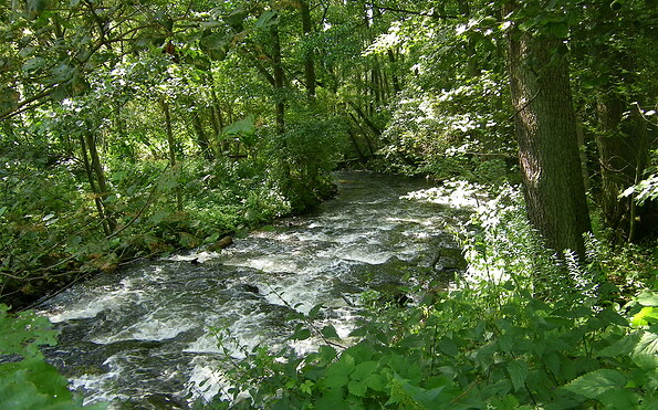
Strömung im Rhin, Foto: Madlen Wetzel, Lizenz: Tourismusverband Ruppiner Seenland e. V.
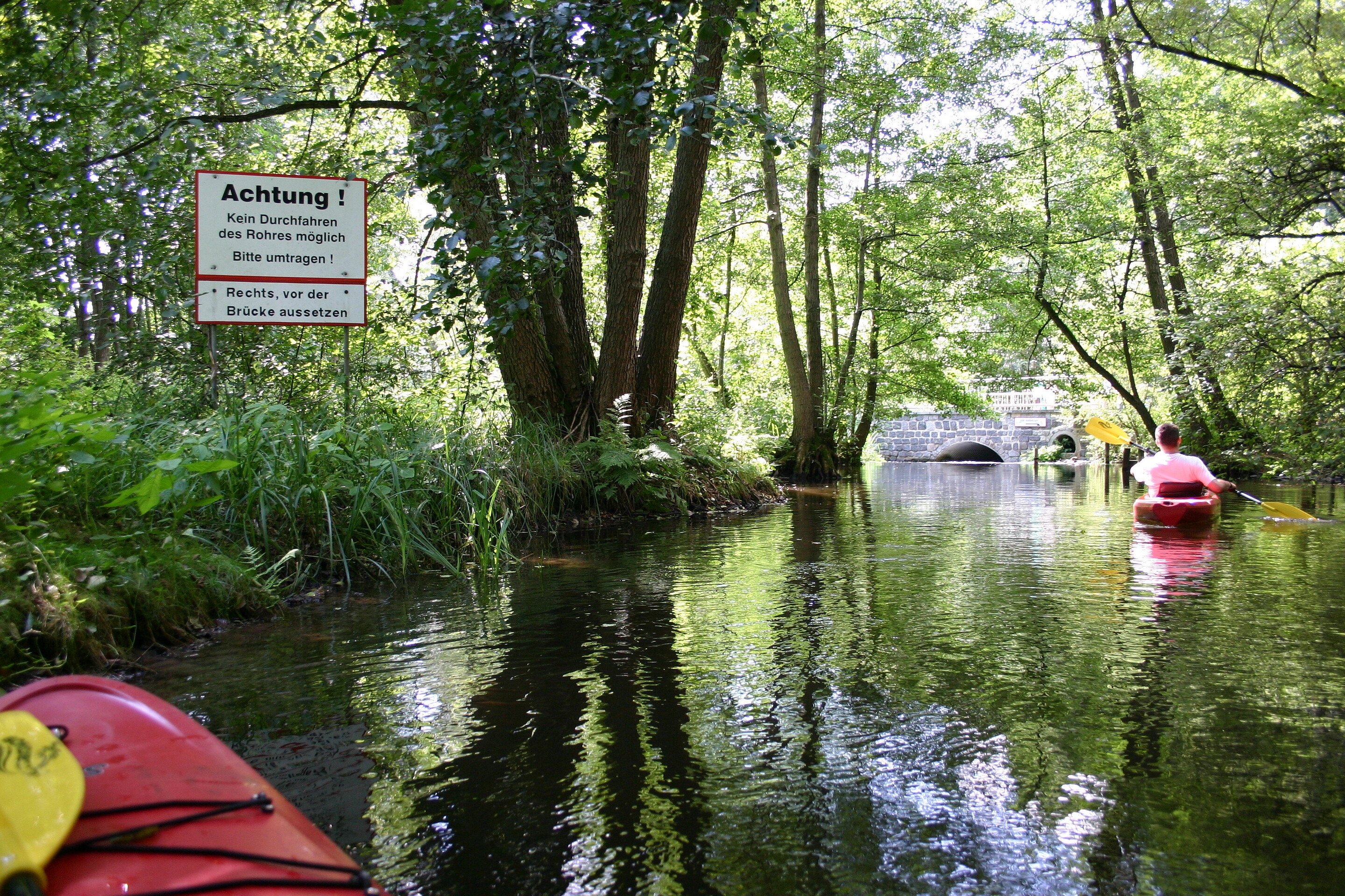
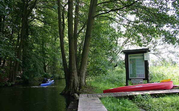
Umtragestelle in Rheinshagen, Foto: Madlen Wetzel, Lizenz: Tourismusverband Ruppiner Seenland e. V.
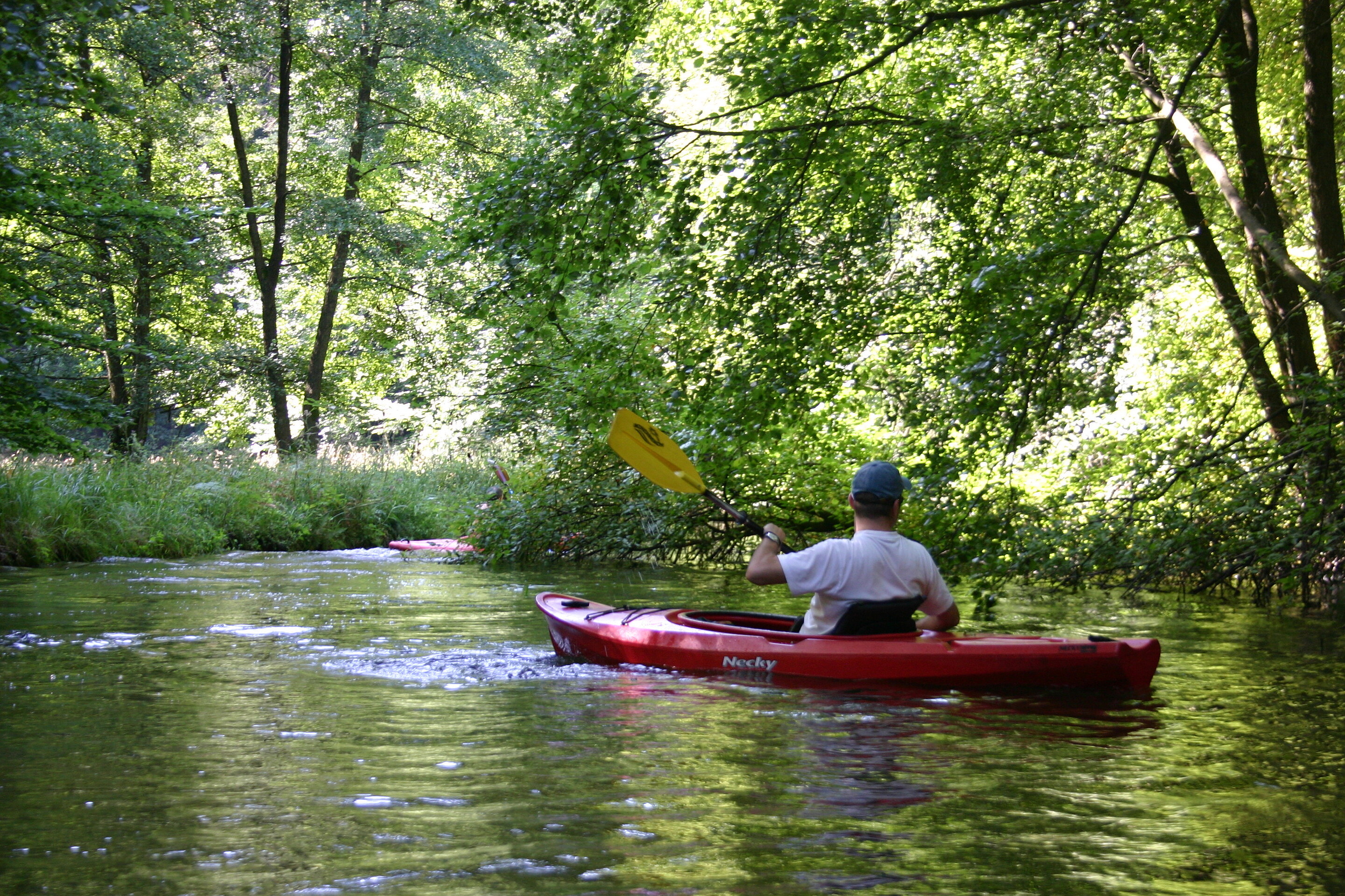
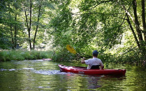
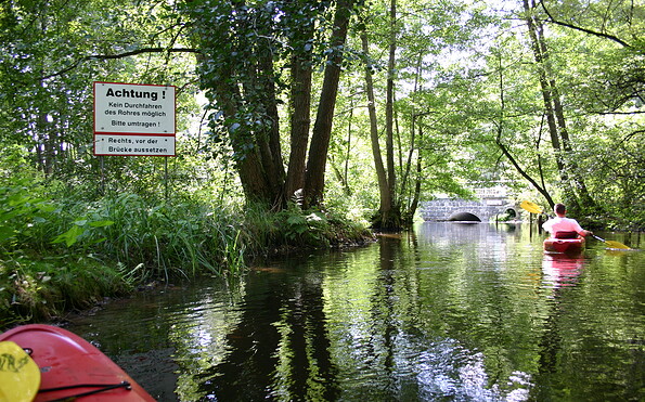
Paddeltour auf dem Rhin, Foto: Madlen Wetzel, Lizenz: Tourismusverband Ruppiner Seenland e.V.
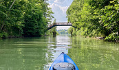
For about 17 kilometers, the narrow Rheinsberger Rhin meanders from Rheinsberg to Zippelsförde, along tall reeds and tranquil meadow landscapes, through beautiful forest and under many a low-hanging branch or tree trunk. The Rhin is one of the last near-natural flowing waters with a wide variety of flow conditions. And this can be felt: In one or the other bend you have to paddle hard to master the swift current! Dragonflies buzz over the glittering water surface and in the often shallow water small fish can be discovered above the stony bottom. With a lot of luck, kingfishers and otters can also be observed in this sensitive flowing water. In Rheinshagen the tour is interrupted by a fish ladder. Here you have to carry your boat around a short distance.

Important notes for the navigation:

In order to maintain the unique nature experience in the long term, navigation of the Rhin - with its animal and plant species worthy of protection - is only possible from June 15 to October 31 - and only if the water level permits it. This can be called up, among other things, via the "water level telephone" of the Stechlin-Ruppiner Land Nature Park: +49 (0) 33082 407-16

The general ruling "Allgemeinverfügung zur Regelung des Gemeingebrauchs auf dem Rheinsberger Rhin" can be downloaded from the website of the district Ostprignitz-Ruppin.

Length/Duration: 17 km / approx. 5 hours

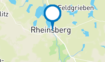
Start: Rheinsberg, Obermühle, corner of Mühlenstraße/ Parkstraße or Rheinsberg, Untermühle, Am Hellsee 2

Destination: Fish farm Zippelsförde. The tour can also be ended about halfway in Rheinshagen.

Arrival:

Public transport: From Berlin-Gesundbrunnen with the RE5/ Stralsund to Löwenberg. From there continue with the RB54 (Niederbarnimer Eisenbahn) to Rheinsberg (approx. 1.5 h).

Car: From Berlin via the A114, A10 and B96 to Rheinsberg (approx. 1.5 h)

Departure:

by bus and train: From Zippelsförde take bus no. 764 to Neuruppin-Pestalozzischule. In Neuruppin West take the RE 6 and get off at Hennigsdorf Bahnhof. Change here to the S25 and continue to Berlin-Gesundbrunnen.

Car: From Zippelsförde take the B122 in the direction of Neuruppin. Here take the B167 in the direction of Dabergotz. Then take the A24 in the direction of Berlin. Enter Berlin via the A10 and A111.

Nautical information: 1-person/2-person kayaks, no canadian canoes, no stand-up paddles, varying current conditions, can only be navigated in the direction of flow, low-hanging treetops, access to the bank only permitted at designated places, move boat in Rheinshagen, only navigable when water level exceeds 65 cm, only navigable from June 15 - October 31.

Maps: Rheinsberger Rhin - Ruppiner Seen, Wasserwanderkarte, 1:50.000, ed. by Klemmer-Verlag, 1st edition, Waren (Müritz) 2013.
aufklappeneinklappen
+++  Navigation on the Rheinsberg Rhin will be prohibited with immediate effect from Friday 14 August 2026 due to low water levels. +++
aufklappeneinklappen
Waldlandschaft, Foto: Madlen Wetzel, Lizenz: Tourismusverband Ruppiner Seenland e. V.
Rastplatz in Zechow, Foto: Madlen Wetzel, Lizenz: Tourismusverband Ruppiner Seenland e. V.
Wiesenlandschaft, Foto: Madlen Wetzel, Lizenz: Tourismusverband Ruppiner Seenland e. V.
Pferd am Ufer, Foto: Madlen Wetzel, Lizenz: Tourismusverband Ruppiner Seenland e. V.
Strömung im Rhin, Foto: Madlen Wetzel, Lizenz: Tourismusverband Ruppiner Seenland e. V.
Umtragestelle in Rheinshagen, Foto: Madlen Wetzel, Lizenz: Tourismusverband Ruppiner Seenland e. V.
Paddeltour auf dem Rhin, Foto: Madlen Wetzel, Lizenz: Tourismusverband Ruppiner Seenland e.V.
For about 17 kilometers, the narrow Rheinsberger Rhin meanders from Rheinsberg to Zippelsförde, along tall reeds and tranquil meadow landscapes, through beautiful forest and under many a low-hanging branch or tree trunk. The Rhin is one of the last near-natural flowing waters with a wide variety of flow conditions. And this can be felt: In one or the other bend you have to paddle hard to master the swift current! Dragonflies buzz over the glittering water surface and in the often shallow water small fish can be discovered above the stony bottom. With a lot of luck, kingfishers and otters can also be observed in this sensitive flowing water. In Rheinshagen the tour is interrupted by a fish ladder. Here you have to carry your boat around a short distance.

Important notes for the navigation:

In order to maintain the unique nature experience in the long term, navigation of the Rhin - with its animal and plant species worthy of protection - is only possible from June 15 to October 31 - and only if the water level permits it. This can be called up, among other things, via the "water level telephone" of the Stechlin-Ruppiner Land Nature Park: +49 (0) 33082 407-16

The general ruling "Allgemeinverfügung zur Regelung des Gemeingebrauchs auf dem Rheinsberger Rhin" can be downloaded from the website of the district Ostprignitz-Ruppin.

Length/Duration: 17 km / approx. 5 hours

Start: Rheinsberg, Obermühle, corner of Mühlenstraße/ Parkstraße or Rheinsberg, Untermühle, Am Hellsee 2

Destination: Fish farm Zippelsförde. The tour can also be ended about halfway in Rheinshagen.

Arrival:

Public transport: From Berlin-Gesundbrunnen with the RE5/ Stralsund to Löwenberg. From there continue with the RB54 (Niederbarnimer Eisenbahn) to Rheinsberg (approx. 1.5 h).

Car: From Berlin via the A114, A10 and B96 to Rheinsberg (approx. 1.5 h)

Departure:

by bus and train: From Zippelsförde take bus no. 764 to Neuruppin-Pestalozzischule. In Neuruppin West take the RE 6 and get off at Hennigsdorf Bahnhof. Change here to the S25 and continue to Berlin-Gesundbrunnen.

Car: From Zippelsförde take the B122 in the direction of Neuruppin. Here take the B167 in the direction of Dabergotz. Then take the A24 in the direction of Berlin. Enter Berlin via the A10 and A111.

Nautical information: 1-person/2-person kayaks, no canadian canoes, no stand-up paddles, varying current conditions, can only be navigated in the direction of flow, low-hanging treetops, access to the bank only permitted at designated places, move boat in Rheinshagen, only navigable when water level exceeds 65 cm, only navigable from June 15 - October 31.

Maps: Rheinsberger Rhin - Ruppiner Seen, Wasserwanderkarte, 1:50.000, ed. by Klemmer-Verlag, 1st edition, Waren (Müritz) 2013.
aufklappeneinklappen

Anreiseplaner

Parkstraße 1

16831 Rheinsberg
Wetter Heute, 16. 9.

14 20
Klarer Himmel

  • Donnerstag

    11 18
  • Freitag
    13 19

Prospekte

Wandern mit Seeblick - Tourentipps fürs ganze Jahr
Jetzt ansehen/bestellen
Urlaubsbroschüre: Deine Auszeit in der brandenburgischen Seenplatte
Jetzt ansehen/bestellen
Radeln nach Zahlen - Knotenpunkt-Radkarte
Jetzt ansehen/bestellen
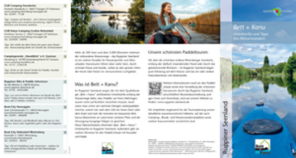
Bett + Kanu Faltblatt
Jetzt ansehen/bestellen
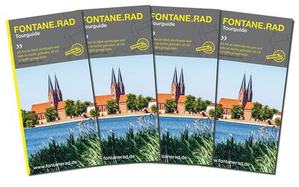
FONTANE.RAD Tourguide
Jetzt ansehen/bestellen
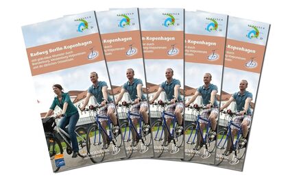
Radweg Berlin-Kopenhagen
Jetzt ansehen/bestellen
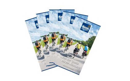
Havel-Radweg - von der Quelle bis zur Mündung
Jetzt ansehen/bestellen
Unbeschwert reisen - Urlaub für Alle in der Brandenburgischen Seenplatte
Jetzt ansehen/bestellen
FONTANE.RAD Karte
FONTANE.RAD Karte
Jetzt ansehen/bestellen

Urlaubsregion

Tourismusverband Ruppiner Seenland e. V.

Fischbänkenstraße 8
16816 Neuruppin

Tel.: 03391-659630
Fax: 03391-659632

Wetter Heute, 16. 9.

14 20
Klarer Himmel

  • Donnerstag
    11 18
  • Freitag
    13 19

Alle Informationen, Zeiten und Preise werden regelmäßig geprüft und aktualisiert. Trotzdem können wir für die Richtigkeit der Daten keine Gewähr übernehmen. Wir empfehlen Ihnen, vor Ihrem Besuch telefonisch / per E-Mail oder über die Internetseiten des Anbieters den aktuellen Stand zu erfragen.

Anruf bei der TMB Urlaubshotline unter 0331-200 47 47 (+49) 03391 659630 Wir sind telefonisch für Sie da: Mo-Fr 08:30-16:30 Uhr.

Vielen Dank für deinen Besuch auf www.ruppiner-seenland.de

Diese Webseite wurde auf dem technisch aktuellsten Stand entwickelt. Leider benutzt du einen Browser, der nicht den technischen Anforderungen entspricht.

Wir bitten dich daher einen alternativen Browser (z.B. Google Chrome, Firefox oder Edge) zu verwenden und wünschen dir weiterhin viel Spaß auf unserer Webseite.

Logo www.ruppiner-seenland.de