Moor Adventure Trail

Hiking tours
Länge: 11 km
0 Bewertungen 0 von 5 (0)
0
0
0
0
0
Wie hat dir der Aufenthalt gefallen? Du hast deinen Aufenthalt schon bewertet.
Hiking tours
Länge: 11 km
ab €
Verfügbarkeit & Preis anzeigen

p.P. = pro Person, p.P./N = pro Person / Nacht, p.E./N = pro Einheit/ Nacht, EZ = Einzelzimmer, DZ = Doppelzimmer, FeWo = Ferienwohnung oder -haus, App. = Appartement, Suite = Suite, FR = Frühstück, HP = Halbpension, VP = VollPension
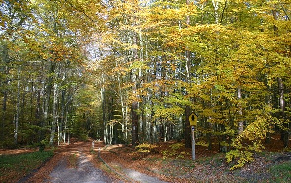
Moors – mysterious, mystical, eerie. These dark and often legend-steeped landscapes are a favourite setting for spooky fairy tales and stories. From a natural history perspective, protected wetlands provide rare habitats for unique flora and fauna. But not all moors are the same, and by walking along the moor adventure trail visitors will see much more than just a wet and inhospitable landscape often populated by countless mosquitoes and gnats.
aufklappeneinklappen
Moorerlebnispfad
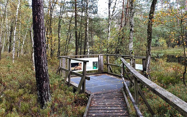
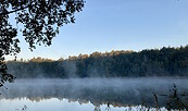
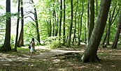
Moorelenispfad, Foto: TMB-Fotoarchiv/Frank Meyer
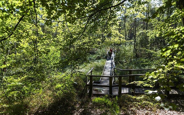
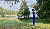
Moorelenispfad, Foto: TMB-Fotoarchiv/Wolfgang Ehm
Length: 11 kilometres (3–4 hours)

Start/finish: NaturParkHaus Stechlin in Menz

Logo/route sign: blue and green dot against a white background (with an additional yellow line as far as Polzow Canal)

Directions:
  • Public transport: Take the RE5 (Rostock) from Berlin central station (Hauptbahnhof) to Gransee. From here, take bus 836 (Neuglosbow) to Menz (approximately 2 hours).
  • Car: Take the B96 and L222 from Berlin to Menz (approximately 1.5 hours).


Route description: The beginning of the path leads across the small park and down to the lake. Following the very small marking, or preferably here the yellow line, the tour goes along the shore of Lake Rofensee to the first information panel at the moor. In front of the campsite you leave the shore to the right. You then cross moor area on a wooden walkway. Passing along Polzow Canal, you come to the old forest road. From this point onwards, no longer follow the yellow line. The moor adventure trail signs point to the left. The forest path leads through an area with various types of moor: Before the large Lake Barschsee – also a moor – you turn left in an arc to head back towards Polzow Canal. Here you follow the blue dot marking. Once you reach the northern tip of Lake Roofensee, it is advisable to leave the adventure trail and follow the blue dot marking to the shore of the lake. While the actual moorland adventure trail now leads back to the starting point as a cycle path up above the lake, this path winds along the shore to the Menz lido and then continues around the Wallberg back to NaturParkHaus Stechlin.

Possible combinations: Around Lake Roofensee

Trail conditions/surface: natural paths, wooden walkway, cycle paths

Maps/Literature: “Rad - Wander- und Gewässerkarte Rheinsberger Seen, Großer Stechlin”, 1:35.000, Verlag: grünes herz, Auflage: 8 (1. April 2014), ISBN-13: 978-3866361003, Euro 4.95
aufklappeneinklappen
Moors – mysterious, mystical, eerie. These dark and often legend-steeped landscapes are a favourite setting for spooky fairy tales and stories. From a natural history perspective, protected wetlands provide rare habitats for unique flora and fauna. But not all moors are the same, and by walking along the moor adventure trail visitors will see much more than just a wet and inhospitable landscape often populated by countless mosquitoes and gnats.
aufklappeneinklappen
Moorerlebnispfad
Moorelenispfad, Foto: TMB-Fotoarchiv/Frank Meyer
Moorelenispfad, Foto: TMB-Fotoarchiv/Wolfgang Ehm
Length: 11 kilometres (3–4 hours)

Start/finish: NaturParkHaus Stechlin in Menz

Logo/route sign: blue and green dot against a white background (with an additional yellow line as far as Polzow Canal)

Directions:
  • Public transport: Take the RE5 (Rostock) from Berlin central station (Hauptbahnhof) to Gransee. From here, take bus 836 (Neuglosbow) to Menz (approximately 2 hours).
  • Car: Take the B96 and L222 from Berlin to Menz (approximately 1.5 hours).


Route description: The beginning of the path leads across the small park and down to the lake. Following the very small marking, or preferably here the yellow line, the tour goes along the shore of Lake Rofensee to the first information panel at the moor. In front of the campsite you leave the shore to the right. You then cross moor area on a wooden walkway. Passing along Polzow Canal, you come to the old forest road. From this point onwards, no longer follow the yellow line. The moor adventure trail signs point to the left. The forest path leads through an area with various types of moor: Before the large Lake Barschsee – also a moor – you turn left in an arc to head back towards Polzow Canal. Here you follow the blue dot marking. Once you reach the northern tip of Lake Roofensee, it is advisable to leave the adventure trail and follow the blue dot marking to the shore of the lake. While the actual moorland adventure trail now leads back to the starting point as a cycle path up above the lake, this path winds along the shore to the Menz lido and then continues around the Wallberg back to NaturParkHaus Stechlin.

Possible combinations: Around Lake Roofensee

Trail conditions/surface: natural paths, wooden walkway, cycle paths

Maps/Literature: “Rad - Wander- und Gewässerkarte Rheinsberger Seen, Großer Stechlin”, 1:35.000, Verlag: grünes herz, Auflage: 8 (1. April 2014), ISBN-13: 978-3866361003, Euro 4.95
aufklappeneinklappen

Anreiseplaner

Friedensplatz

16775 Menz

Wetter Heute, 23. 9.

12 15
Bedeckt

  • Donnerstag
    8 17
  • Freitag
    10 17

Prospekte

Urlaubsbroschüre: Deine Auszeit in der brandenburgischen Seenplatte
Jetzt ansehen/bestellen
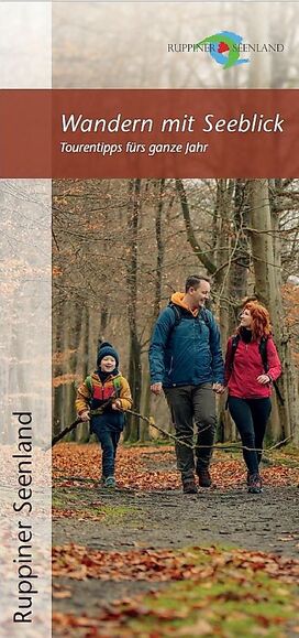
Wandern mit Seeblick - Tourentipps fürs ganze Jahr
Jetzt ansehen/bestellen
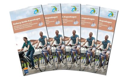
Radweg Berlin-Kopenhagen
Jetzt ansehen/bestellen
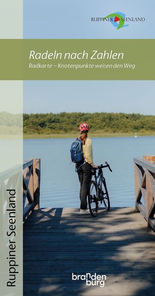
Radeln nach Zahlen - Knotenpunkt-Radkarte
Jetzt ansehen/bestellen
Bett + Kanu Faltblatt
Jetzt ansehen/bestellen
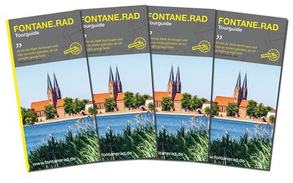
FONTANE.RAD Tourguide
Jetzt ansehen/bestellen
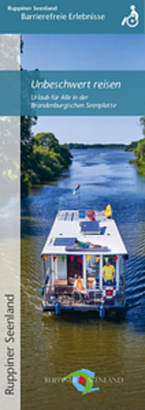
Unbeschwert reisen - Urlaub für Alle in der Brandenburgischen Seenplatte
Jetzt ansehen/bestellen
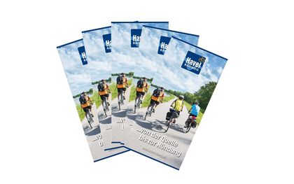
Havel-Radweg - von der Quelle bis zur Mündung
Jetzt ansehen/bestellen
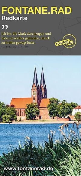
FONTANE.RAD Karte
FONTANE.RAD Karte
Jetzt ansehen/bestellen

Urlaubsregion

Tourismusverband Ruppiner Seenland e. V.

Fischbänkenstraße 8
16816 Neuruppin

Tel.: 03391-659630
Fax: 03391-659632

Wetter Heute, 23. 9.

12 15
Bedeckt

  • Donnerstag
    8 17
  • Freitag
    10 17

Alle Informationen, Zeiten und Preise werden regelmäßig geprüft und aktualisiert. Trotzdem können wir für die Richtigkeit der Daten keine Gewähr übernehmen. Wir empfehlen Ihnen, vor Ihrem Besuch telefonisch / per E-Mail oder über die Internetseiten des Anbieters den aktuellen Stand zu erfragen.

Anruf bei der TMB Urlaubshotline unter 0331-200 47 47 (+49) 03391 659630 Wir sind telefonisch für Sie da: Mo-Fr 08:30-16:30 Uhr.

Vielen Dank für deinen Besuch auf www.ruppiner-seenland.de

Diese Webseite wurde auf dem technisch aktuellsten Stand entwickelt. Leider benutzt du einen Browser, der nicht den technischen Anforderungen entspricht.

Wir bitten dich daher einen alternativen Browser (z.B. Google Chrome, Firefox oder Edge) zu verwenden und wünschen dir weiterhin viel Spaß auf unserer Webseite.

Logo www.ruppiner-seenland.de