Berlin-Oder Round Trip

Houseboat tours
Länge: 375 km
0 Bewertungen 0 von 5 (0)
0
0
0
0
0
Wie hat dir der Aufenthalt gefallen? Du hast deinen Aufenthalt schon bewertet.
Houseboat tours
Länge: 375 km
ab €
Verfügbarkeit & Preis anzeigen

p.P. = pro Person, p.P./N = pro Person / Nacht, p.E./N = pro Einheit/ Nacht, EZ = Einzelzimmer, DZ = Doppelzimmer, FeWo = Ferienwohnung oder -haus, App. = Appartement, Suite = Suite, FR = Frühstück, HP = Halbpension, VP = VollPension
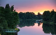
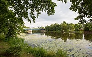
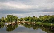
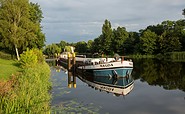
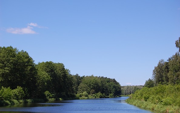
If you want to discover something new away from Germany’s well-known and busy inland waterways and perhaps already have some boating experience, the Berlin-Oder round trip is where you get your money’s worth. The Berlin-Oder round trip with its mix of big city and a mostly tranquil and unspoilt river landscape, neighbouring Poland on the eastern bank of the River Oder, impressive industrial historical monuments such as the Niederfinow boat lift and the Finow Canal, Germany’s oldest still navigable canal and numerous towns along the way that invite to be explored is a truly unique experience.
aufklappeneinklappen
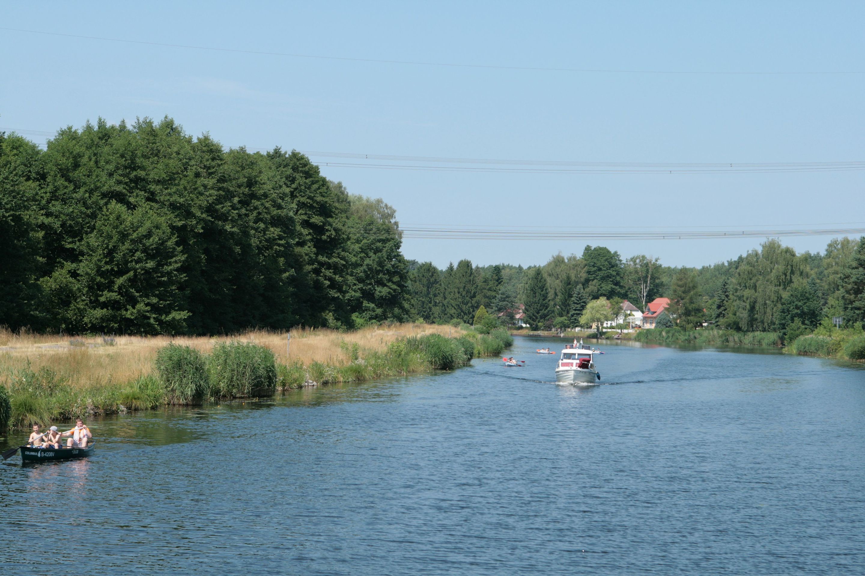
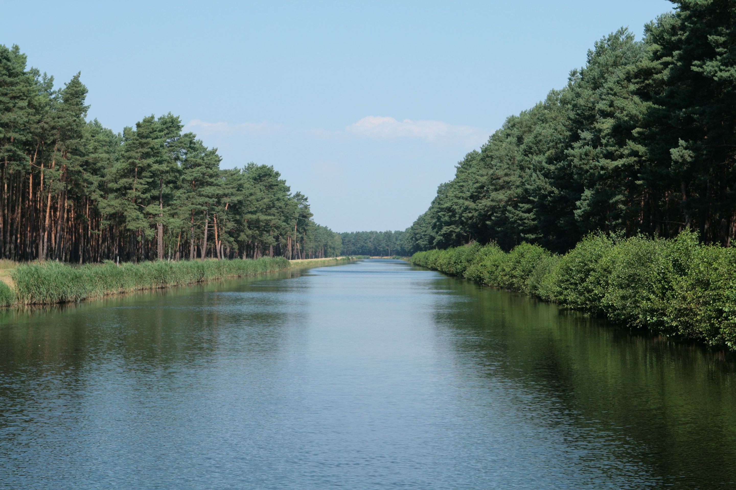
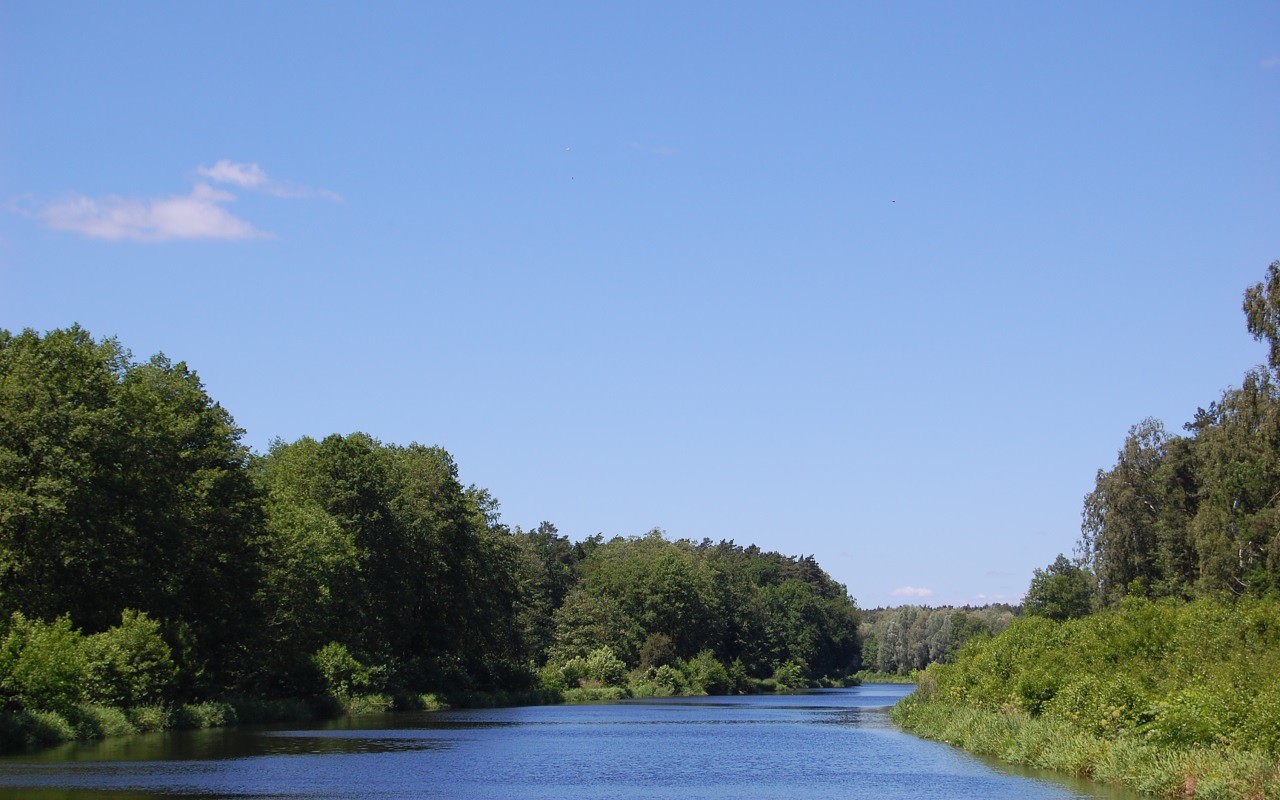
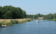
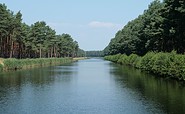
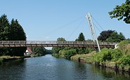
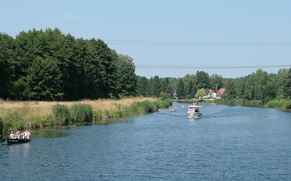
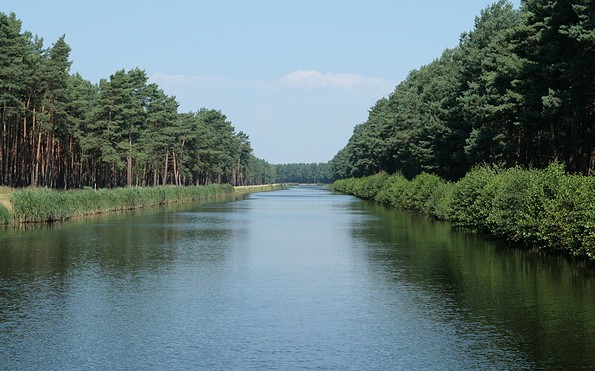
Oder-Spree-Kanal zwischen Fürstenwalde und Eisenhüttenstadt, Foto: Steffen Lehmann
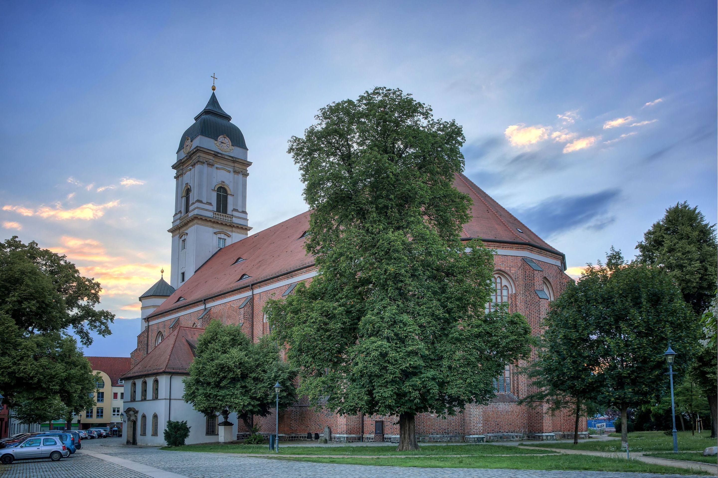
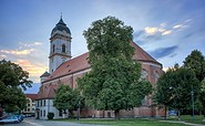
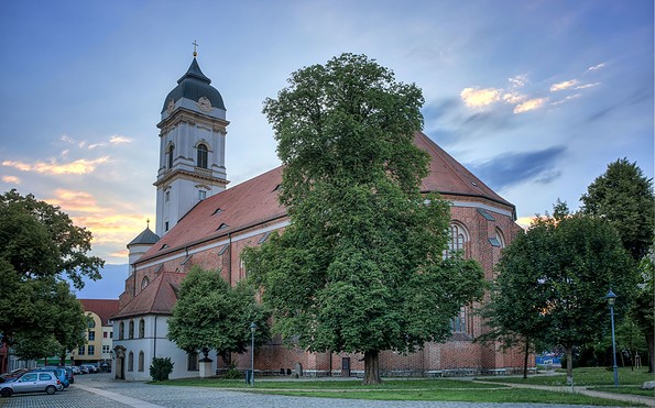
Dom in Fürstenwalde, Foto: Seenland Oder-Spree / Florian Läufer
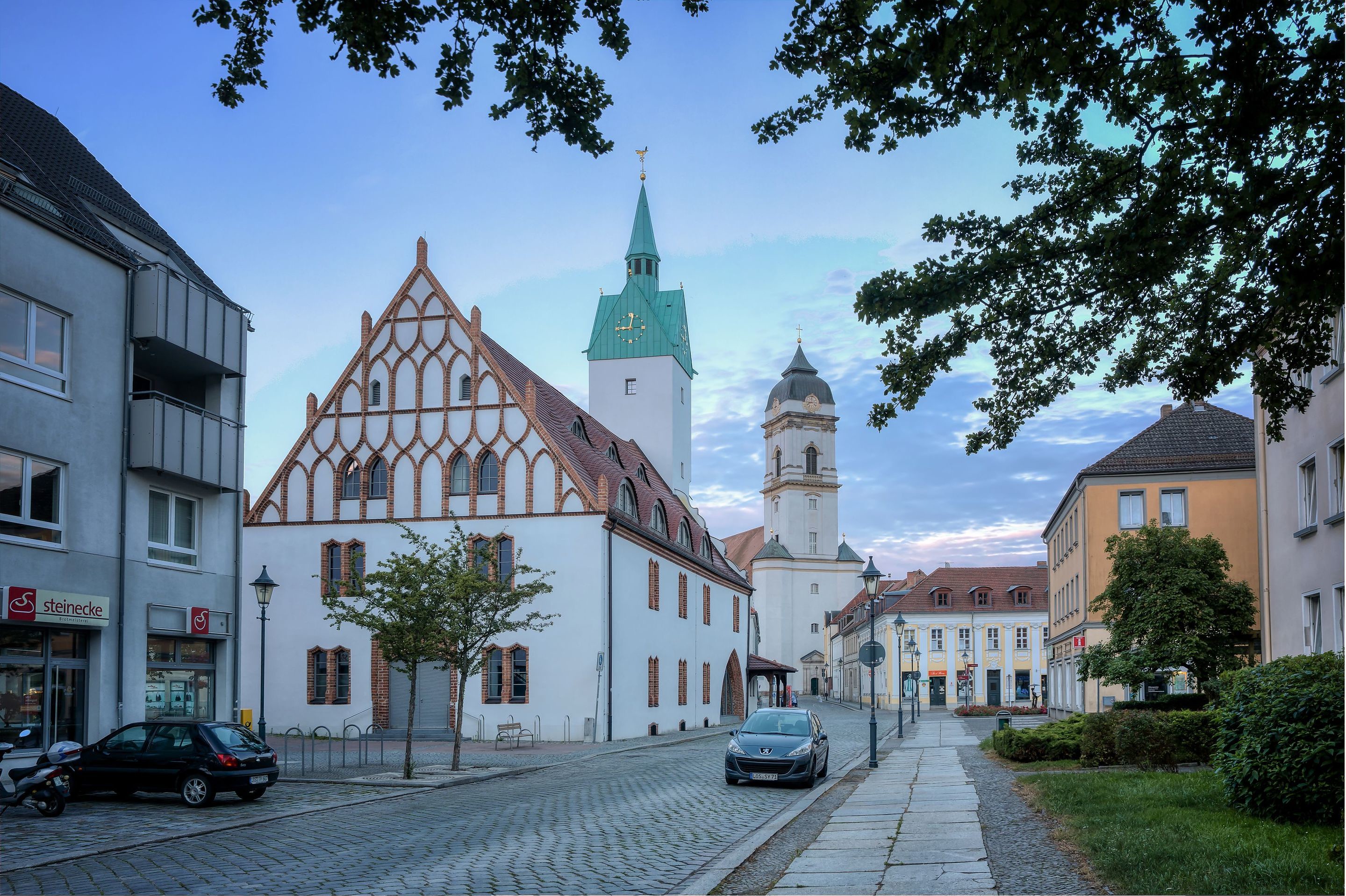
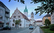
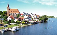
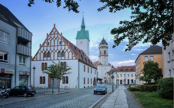
Altstadt mit Dom in Fürstenwalde, Foto: Seenland Oder-Spree / Florian Läufer
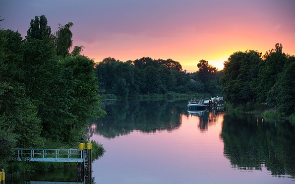
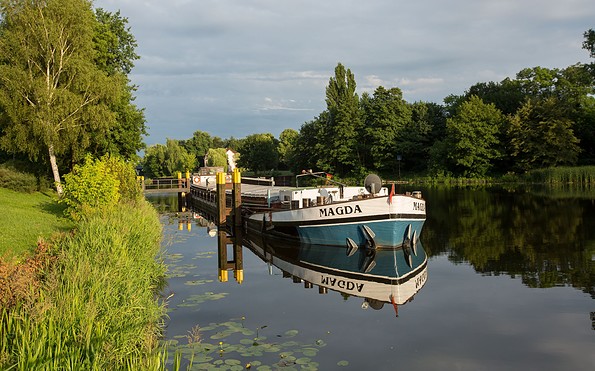
Spree in Fürstenwalde, Foto: Seenland Oder-Spree / Florian Läufer
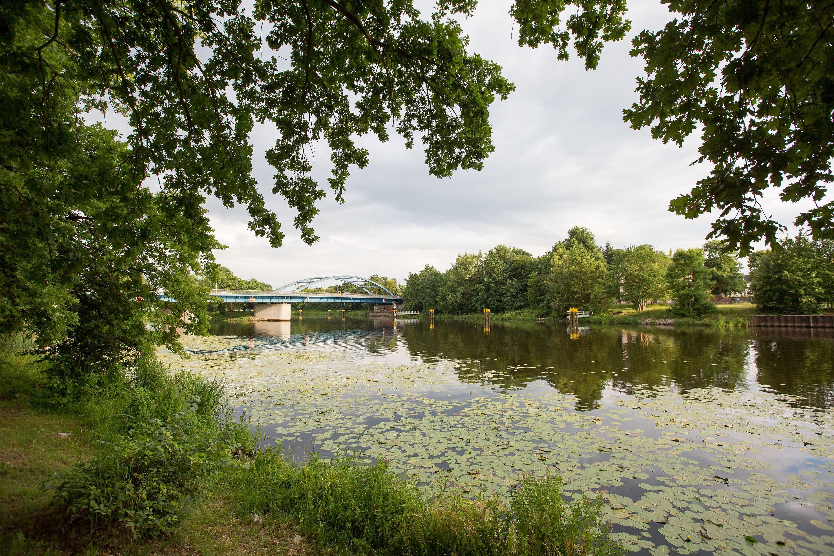
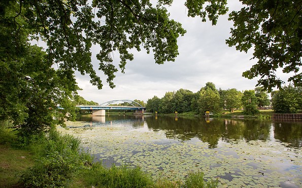
Spreerücke in Fürstenwalde, Foto: Seenland Oder-Spree / Florian Läufer
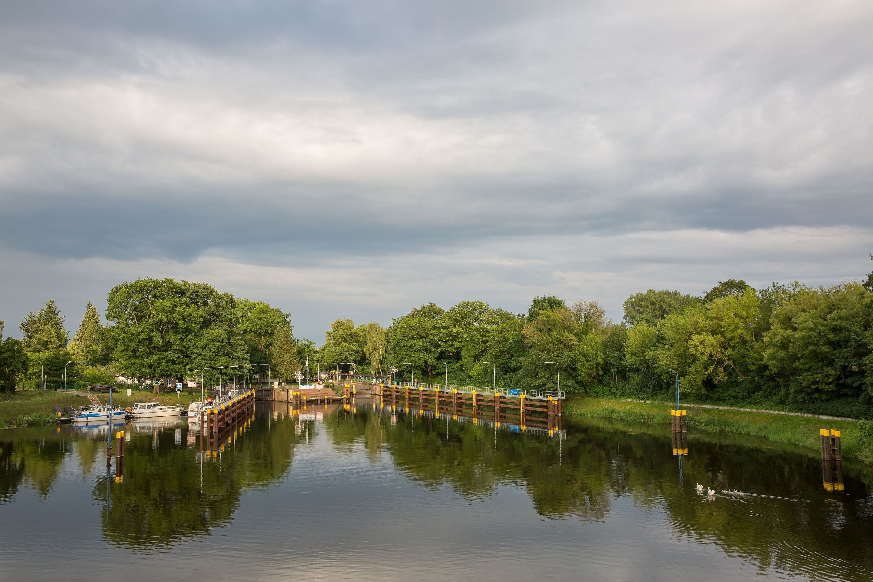
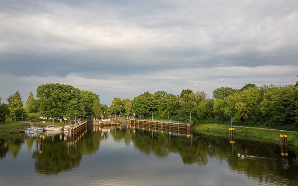
Schleuse in Fürstenwalde, Foto: Seenland Oder-Spree / Florian Läufer
Spree in Fürstenwalde, Foto: Seenland Oder-Spree / Florian Läufer
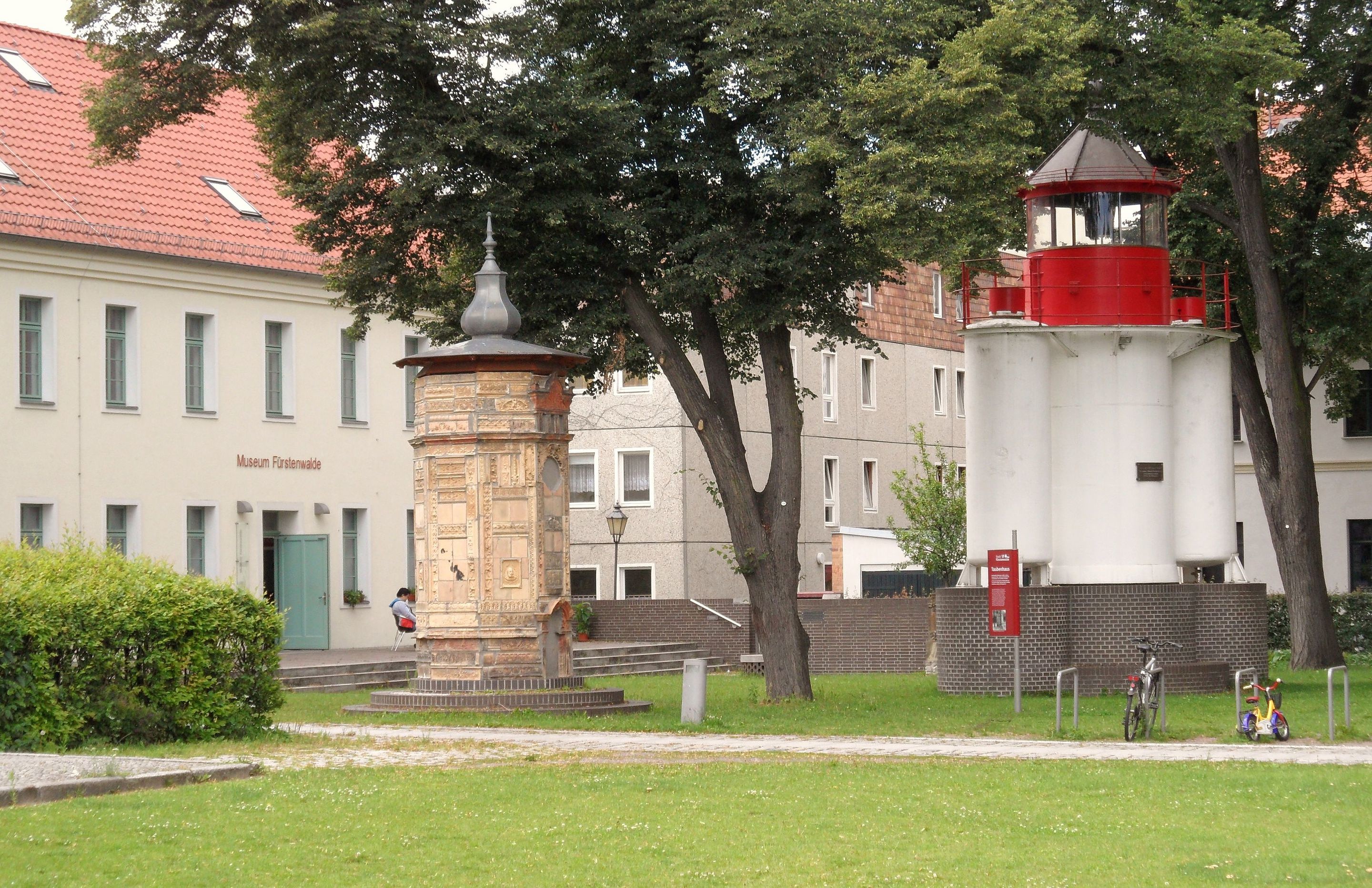
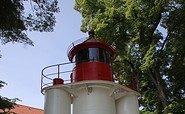
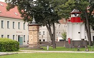
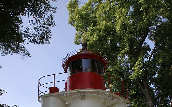
Pintsch-Leuchtturm in Fürstenwalde, Foto: Seenland Oder-Spree / Michael Schön
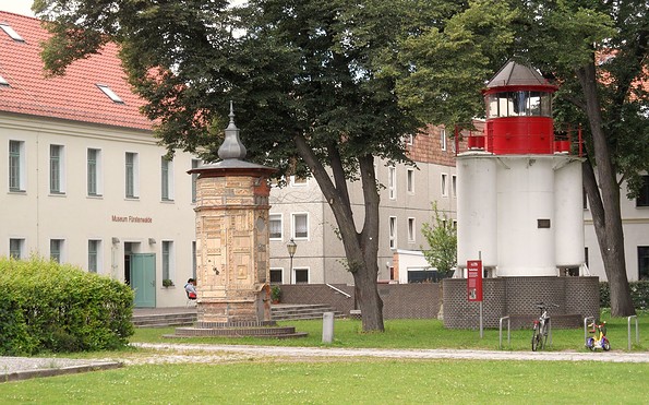
Museum in Fürstenwalde, Foto: Seenland Oder-Spree / G. Mahlkow
Oder-Spree-Kanal zwischen Fürstenwalde und Eisenhüttenstadt, Foto: Steffen Lehmann
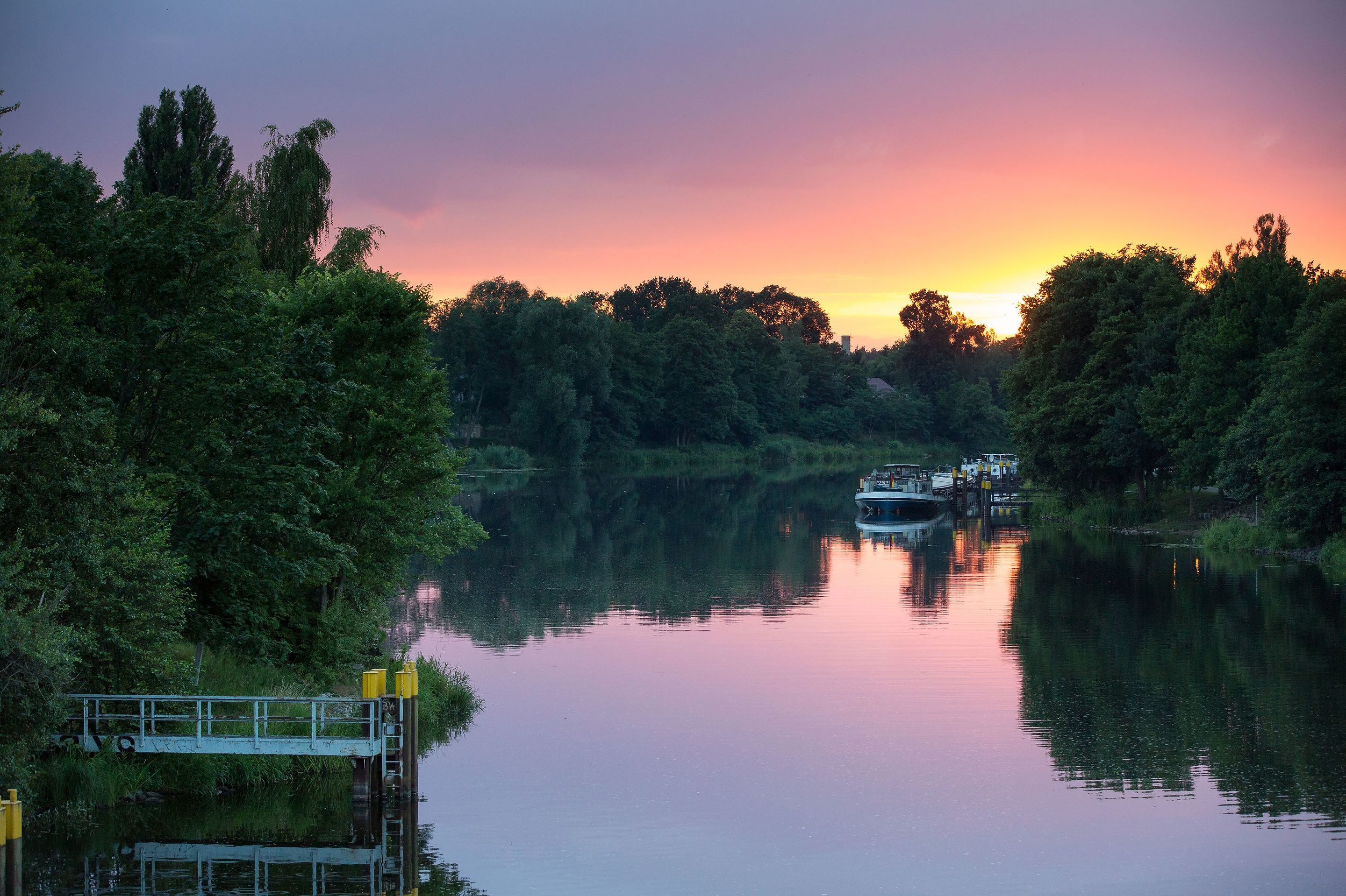
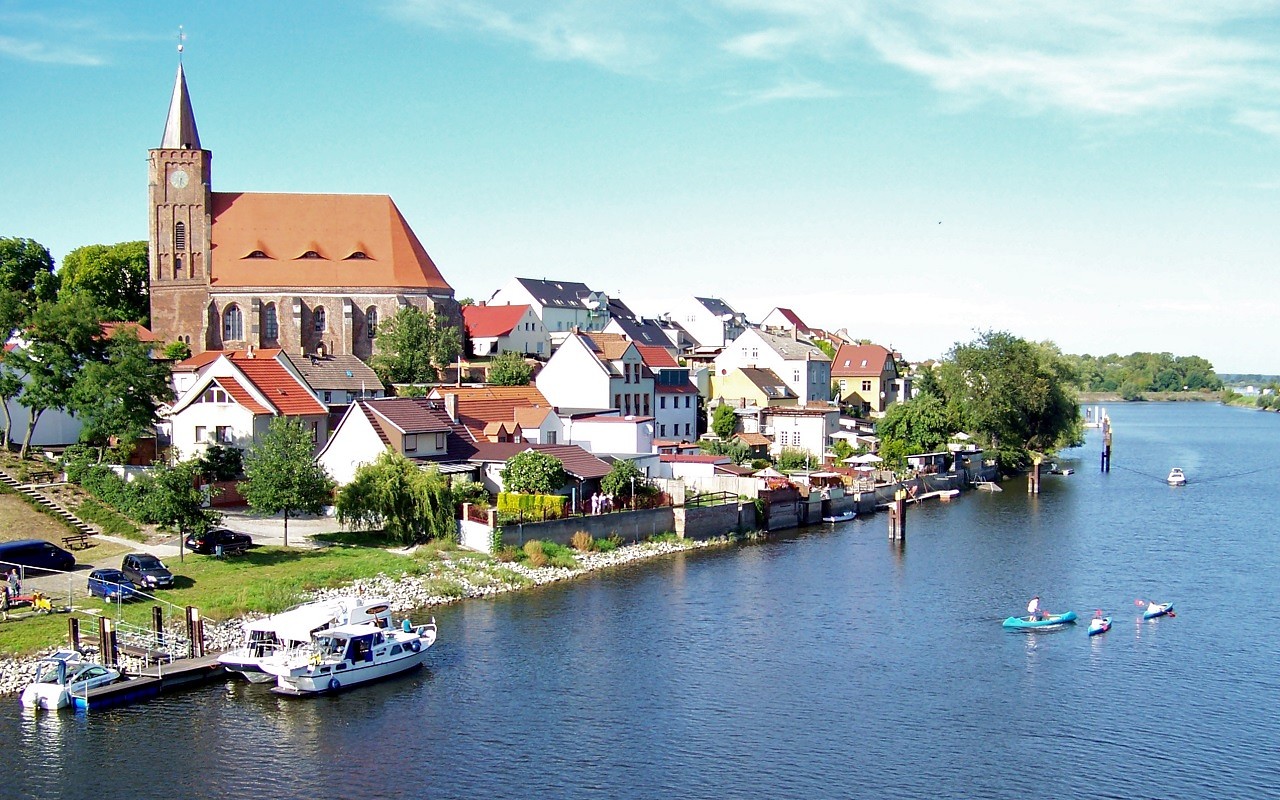
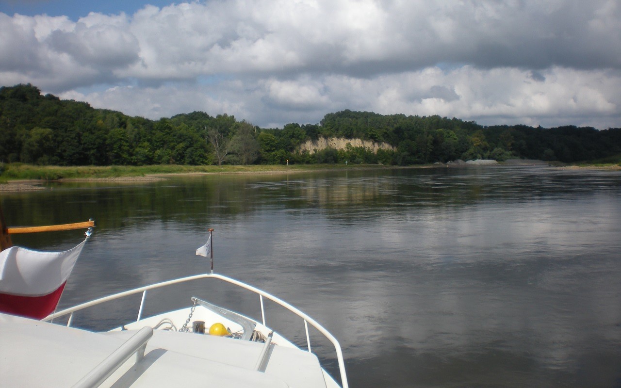
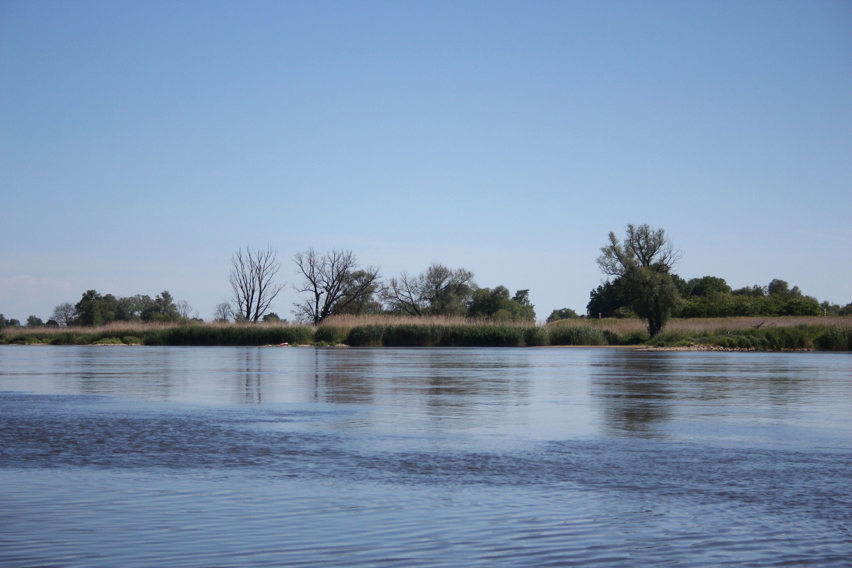
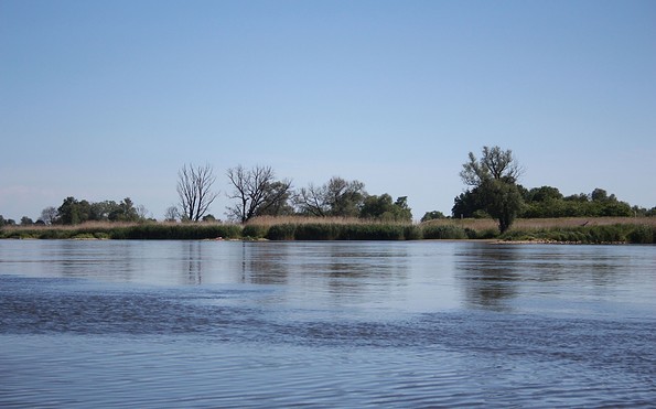
Oder bei Fürstenberg, Foto: Michael Reh
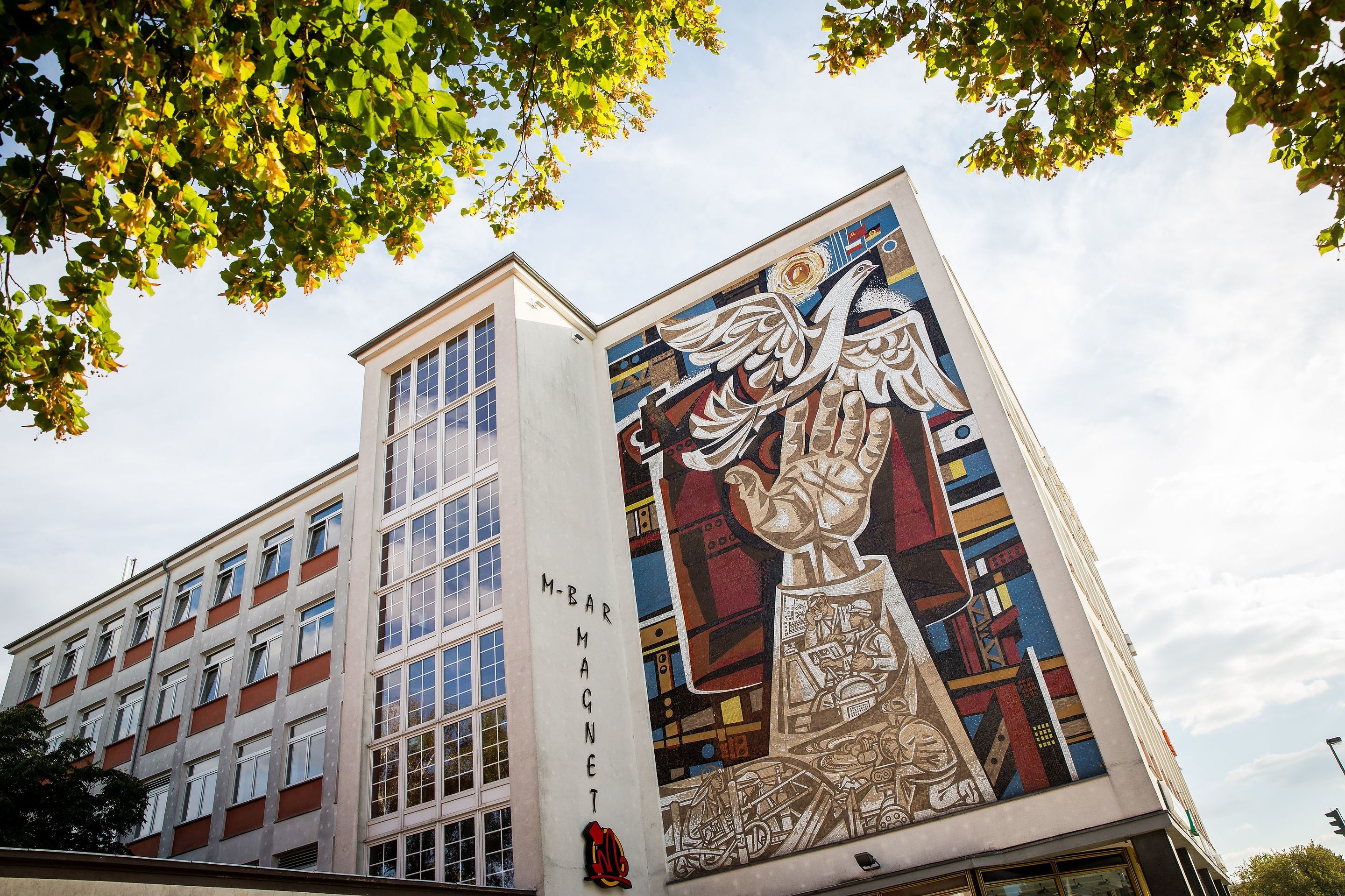
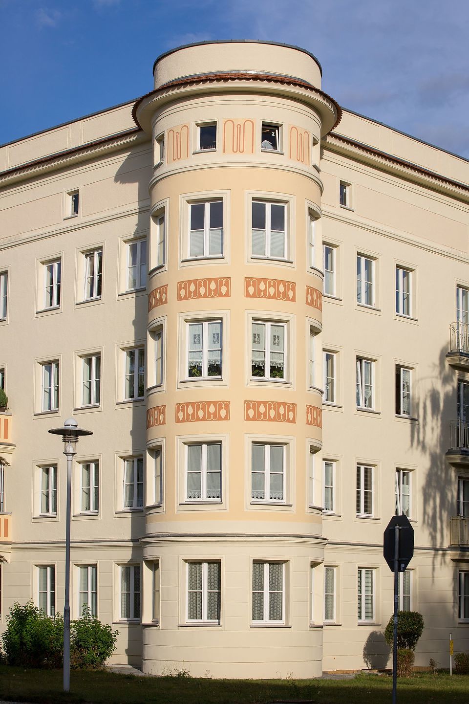
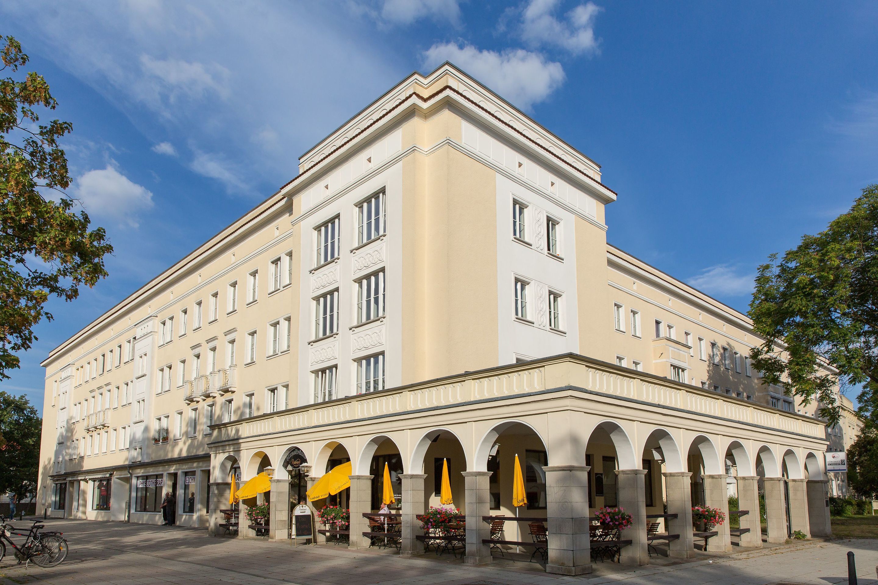
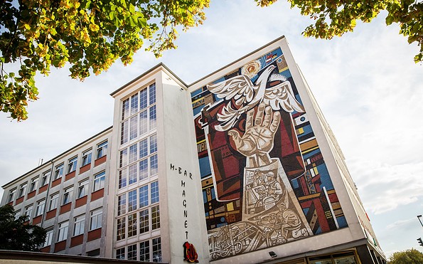
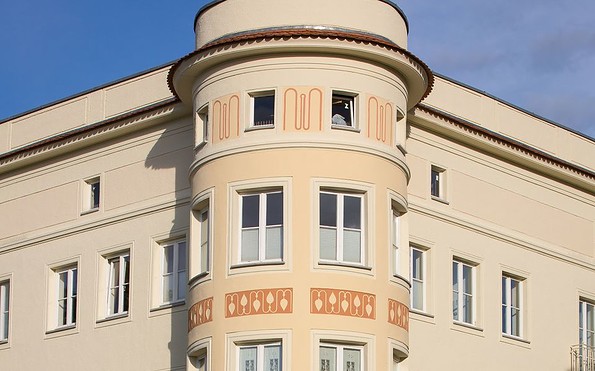
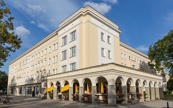
Planstadt Eisenhüttenstadt, Foto: Seenland Oder-Spree / Florian Läufer
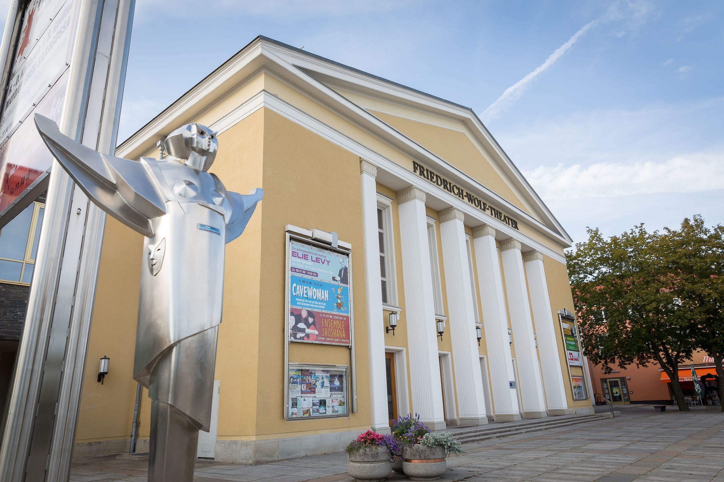
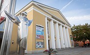
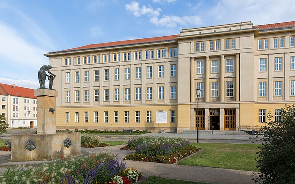
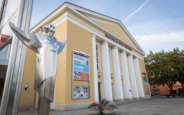
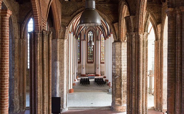
Friedrich-Wolf-Theater in Eisenhüttenstadt, Foto: Seenland Oder-Spree / Florian Läufer
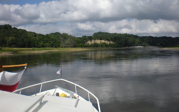
Steile Wand bei Lossow, Foto: Michael Reh
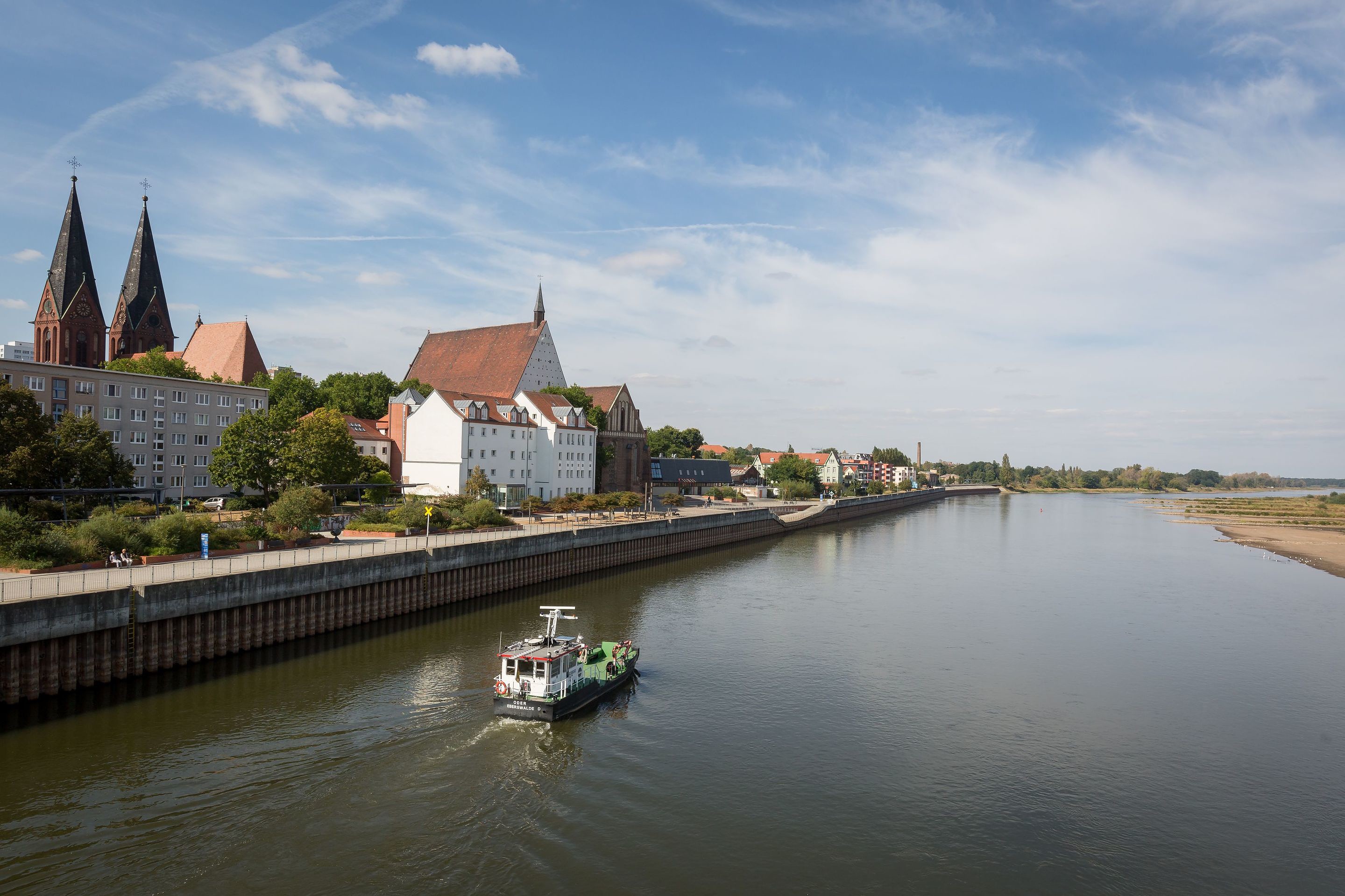
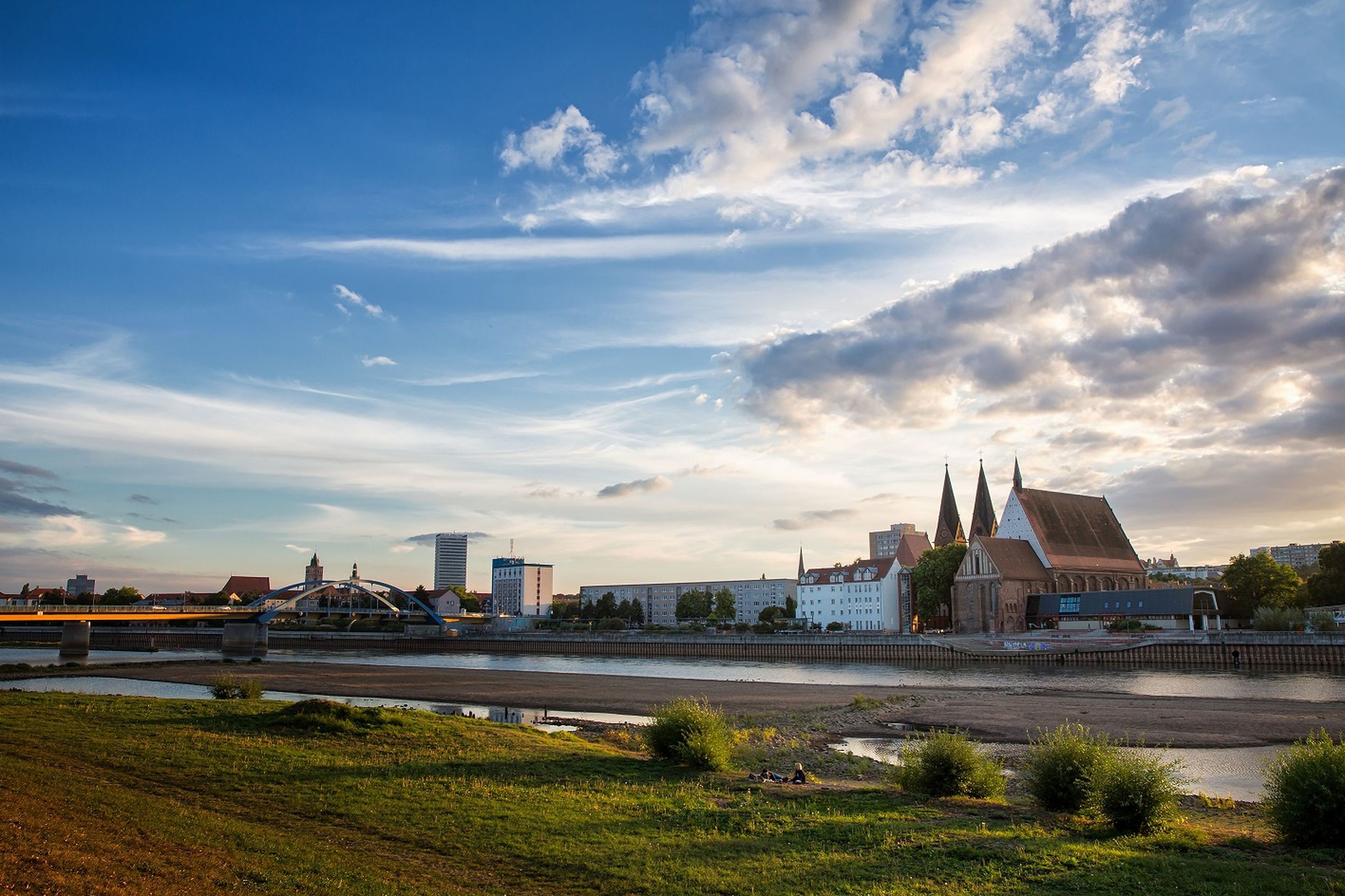
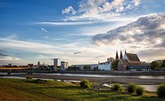
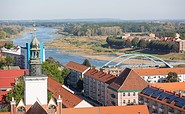
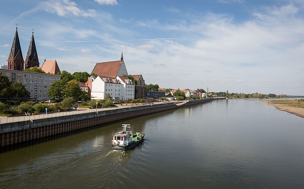
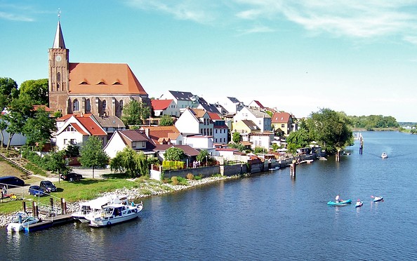
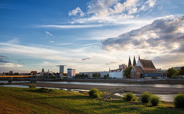
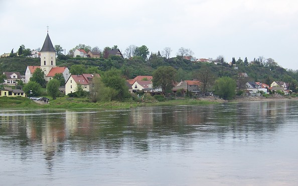
Blick über die Oder auf Frankfurt (Oder), Foto: Seenland Oder-Spree / Florian Läufer
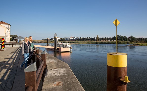
Promenade in Frankfurt (Oder), Foto: Seenland Oder-Spree / Florian Läufer
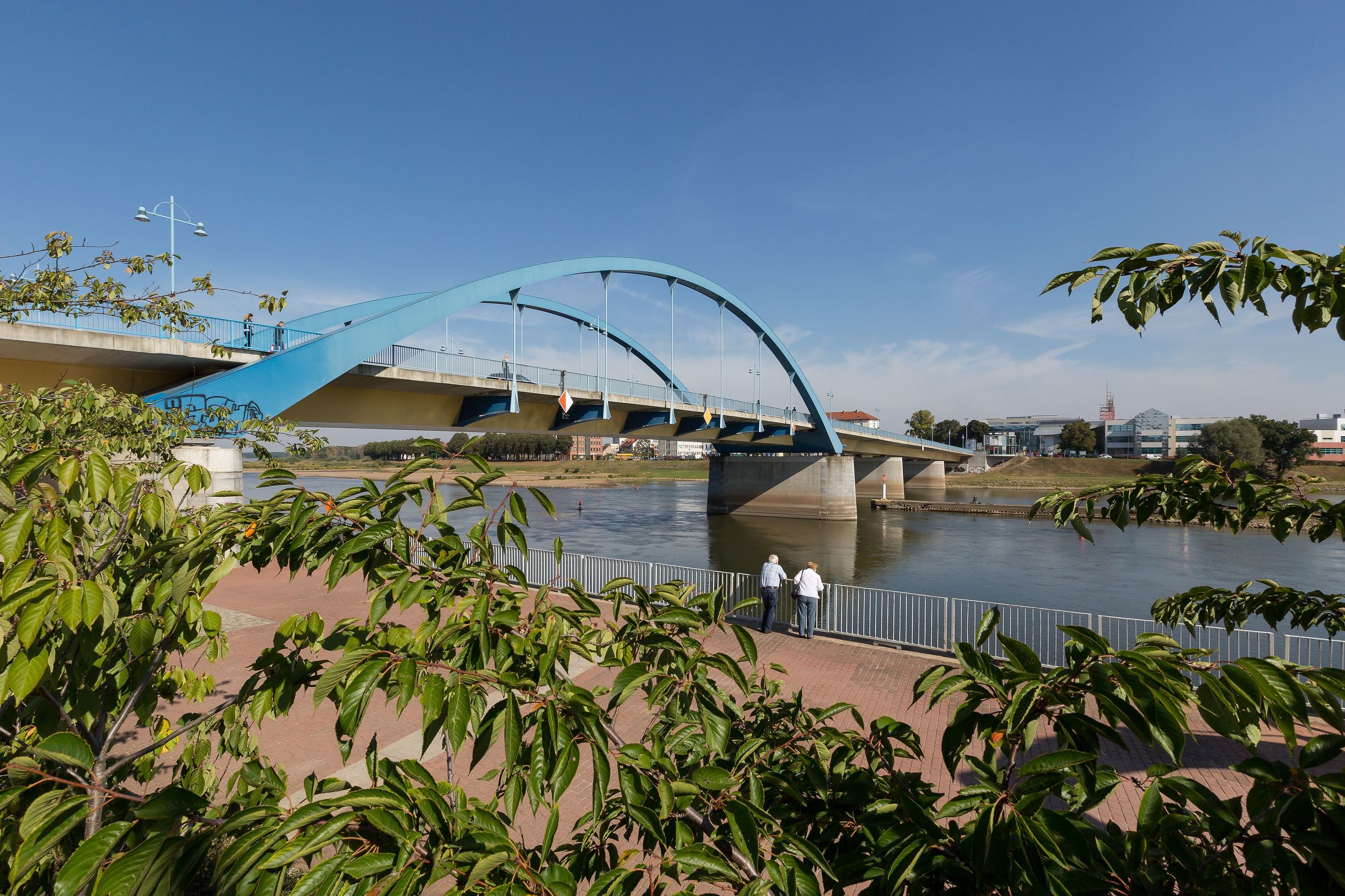
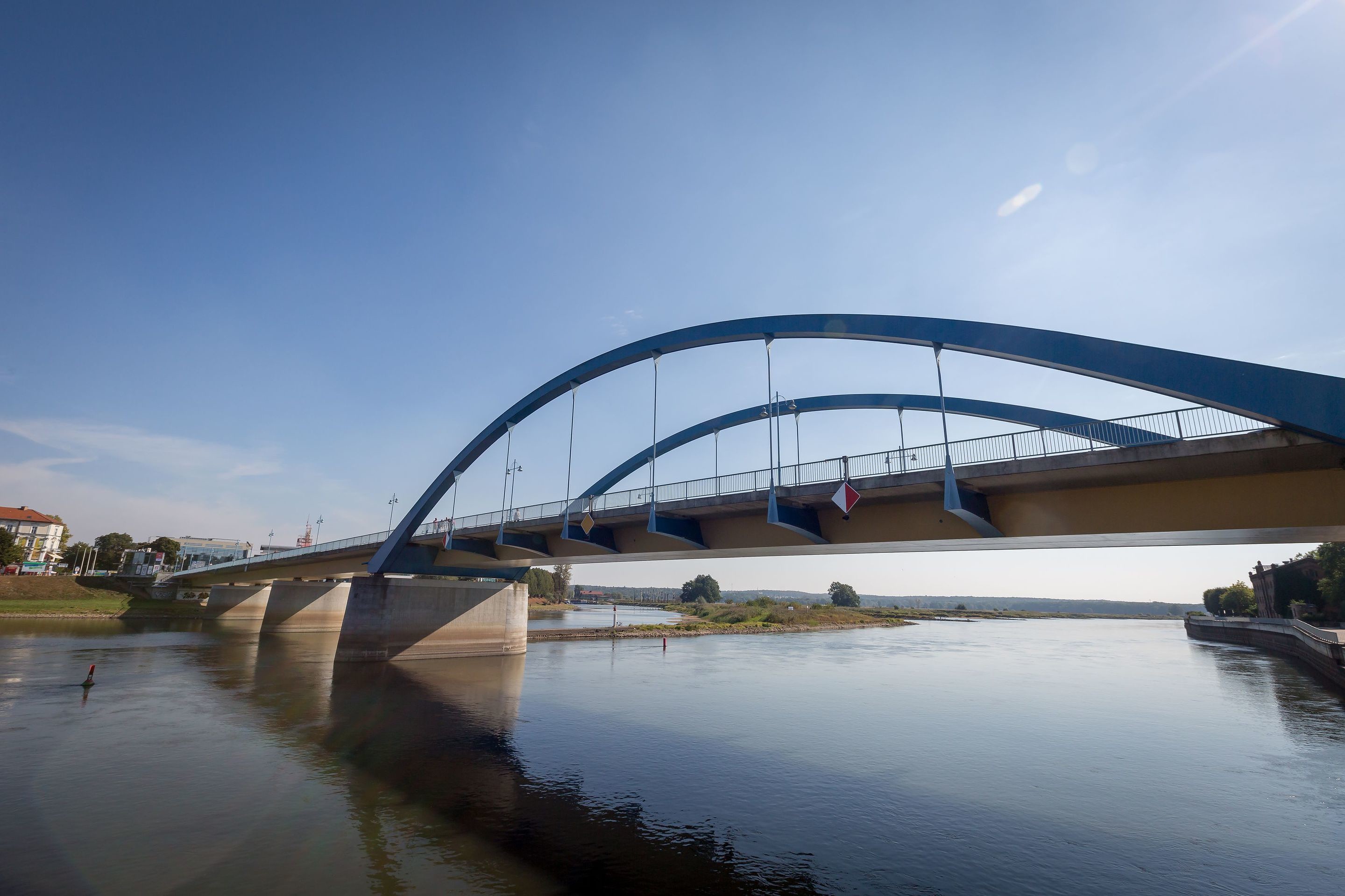
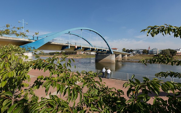
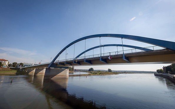
Stadtbrücke in Frankfurt (Oder), Foto: Seenland Oder-Spree / Florian Läufer
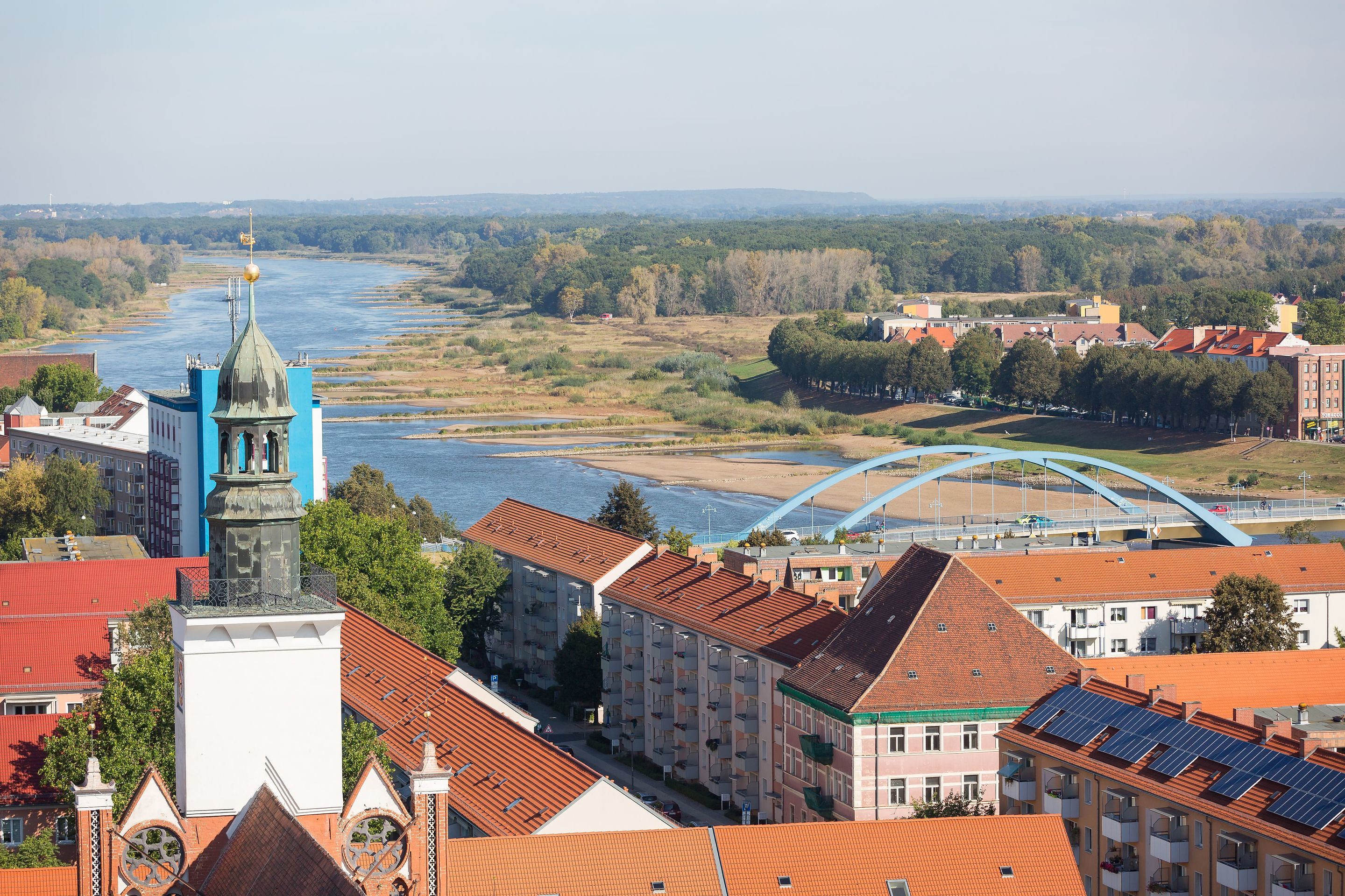
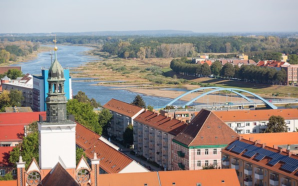
Blick von der Marienkirche in Frankfurt (Oder), Foto: Seenland Oder-Spree / Florian Läufer
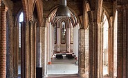
Marienkirche in Frankfurt (Oder), Foto: Seenland Oder-Spree / Florian Läufer
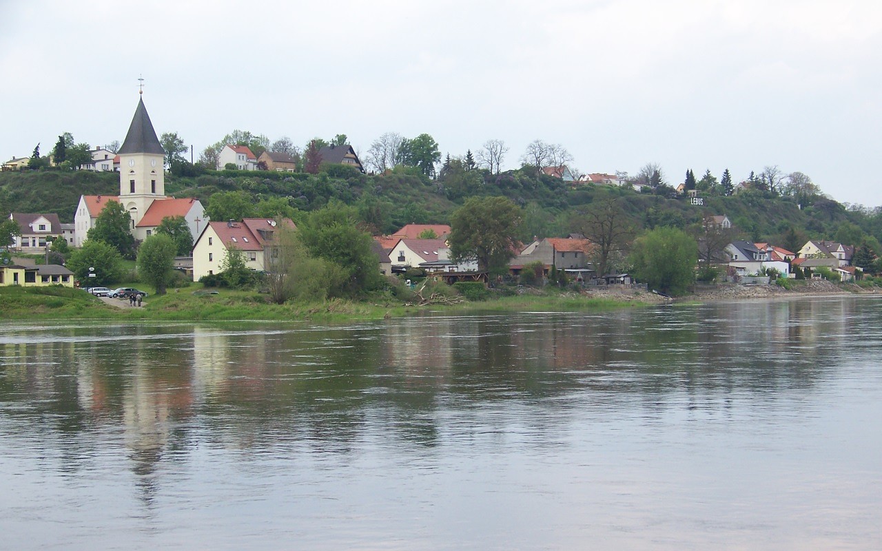
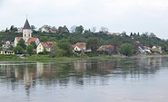
Blick von Lebus über die Oder, Foto: Seenland Oder-Spree / Florian Läufer
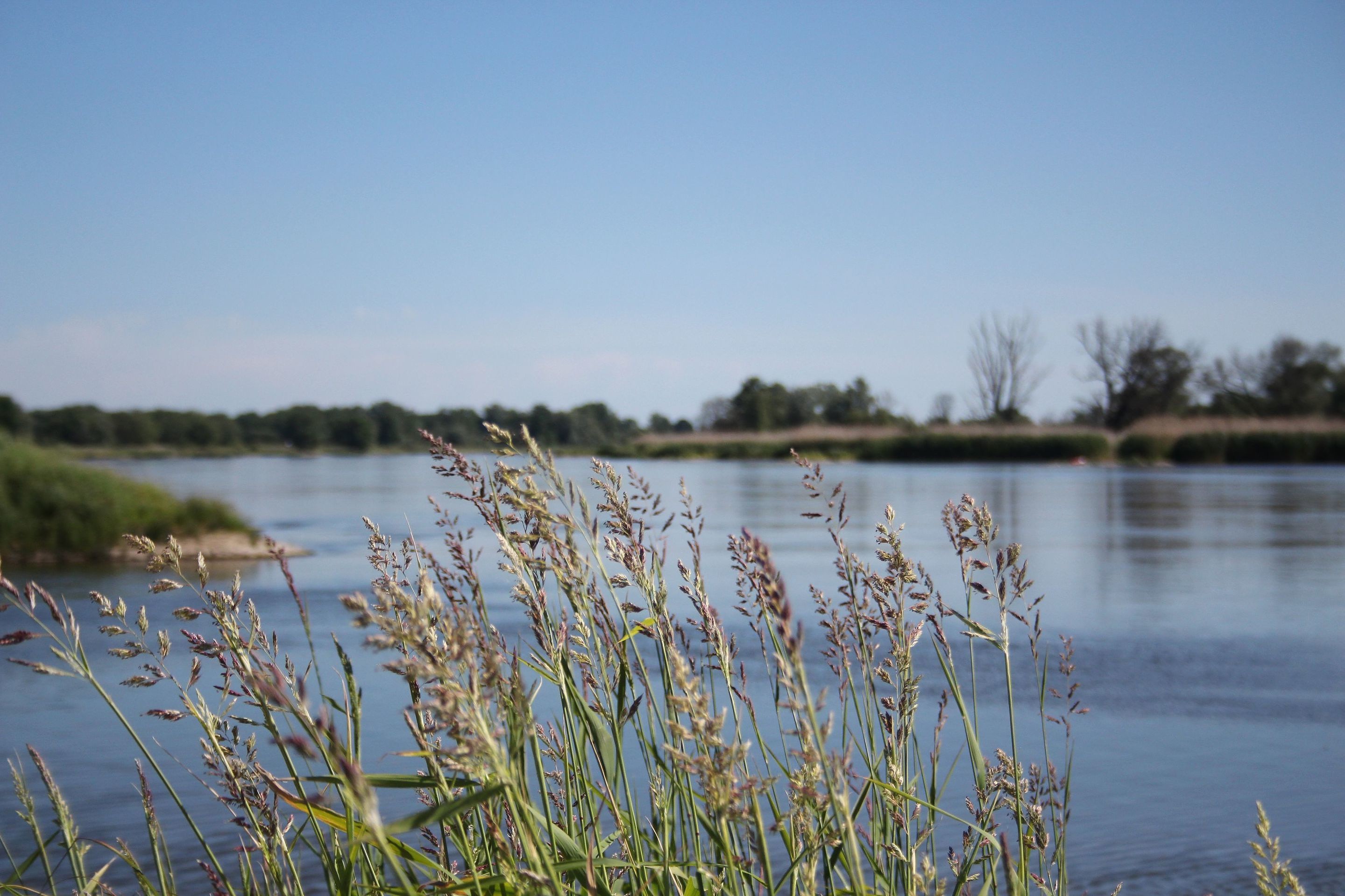
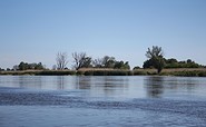
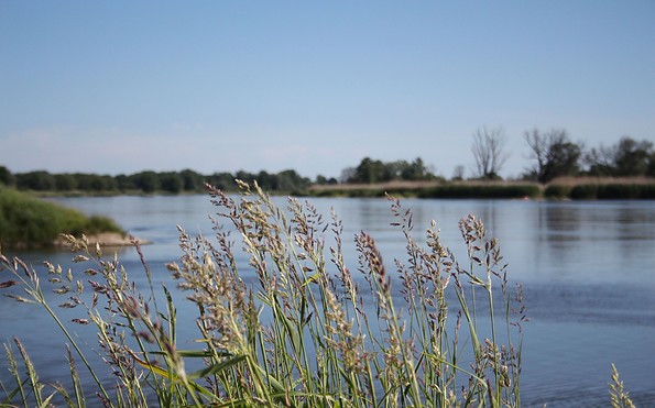
Oder bei Lebus, Foto: Michael Reh
Blick von Lebus über die Oder, Foto: Seenland Oder-Spree / Florian Läufer
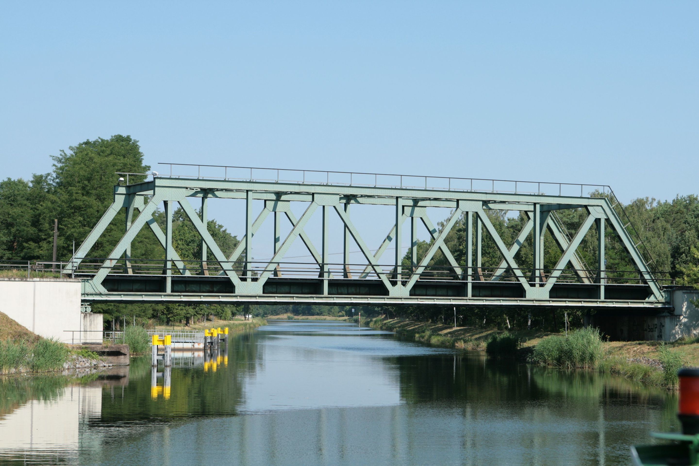
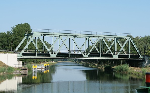
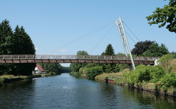
Oder-Havel-Kanal, Foto: Matthias Wedepohl
Logo der Berlin-Oder-Umfahrt
Blick über die Oder auf Frankfurt (Oder), Foto: Seenland Oder-Spree / Florian Läufer
And then there is the River Oder itself, whose fluctuating water levels and fast current require more attention than regulated rivers but reward with an expansive and tranquil landscape that’s unique in Germany. The Oder current is also the reason why you should generally make the round trip in an anti-clockwise downstream direction.

The round trip has another special feature: it gives you the opportunity to take detours into neighbouring water systems (Dahme waters, Spree with Lake Schwielochsee, the Polish part of the Oder upstream to Breslau, the Greater Poland Loop across the River Warthe near Küstrin, the Unteres Odertal National Park region to Szczecin, the Obere-Havel waterway, the Ruppin Waters).

Length: 375 kilometres / 1-2 weeks

Route: Spree, Dahme, Oder-Spree Canal, Oder (also known as Stromoder), Oder-Havel Canal/Finow Canal, Havel

Berlin is an ideal starting point for many visitors and also the highlight of the tour. The Spree runs through the centre of Berlin, past the new government district and through the city’s historical centre. Along the Oder-Spree Canal, for 84 kilometres the route then takes you from Berlin’s city border through seemingly endless forests towards the River Oder. The town of Fürstenwalde along the route and the certified resort of Müllrose are popular places for on-shore outings.

At the 95-kilometre mark you can take a Spree detour to Beeskow and then to Lake Schwielochsee. In Eisenhüttenstadt, once you have crossed the impressive Zwillingsschacht lock from the year 1929, you reach the River Oder. Before you continue downstream along the Oder, you are well advised to visit this city, which was planned in the 1950s in East Germany as a model city designed on the drawing board. As you travel along the Oder you will pass an expansive and tranquil landscape with just a few quiet villages on both sides of the Oder, then reach the attractive destinations of Frankfurt (Oder) and its Polish sister city Slubice and the Polish town of Küstrin.

After some 113 kilometres along the Oder, you turn west at Hohensaaten onto the Oder-Havel waterway. But first you need to cross the eastern lock at Hohensaaten. After about 13 kilometres along the flat landscape of the Oderbruch you reach Barnim, a mountain ridge formed during the ice age. You bridge the 36-metre altitude difference either via the Oder-Havel Canal, which has Germany’s largest ship lift, the Niederfinow boat lift or, alternatively, via the 12 locks of the Finow Canal. If you’re not short of time, you should travel along the 34-kilometre canal that’s the oldest one still in operation in Germany. There are a multitude of charming towns along the way, especially the town of Eberswalde, as well as long sections of beautiful countryside.

At the 50-kilometre mark, the Finow Canal once again joins the Oder-Havel Canal. From there it is another 25 kilometres or so until you reach the pretty town of Oranienburg. It’s not far to Berlin from there. After another 25 kilometres along the Oder-Havel Canal and crossing the Spandau lock you reach the Spree again and then Berlin’s city centre after a further 16 kilometres.

This is what you need to pay attention to:
  • Due to the River Oder’s average current speed of 3 to 4 kilometres/hour, it is advisable to travel counter-clockwise, or downstream. While travelling upstream is possible for boats with a strong enough engine, it takes more time (about a day) and consumes significantly more fuel.
  • The nautical conditions on the Oder can vary greatly due to flooding in spring and low water levels during longer dry spells in summer. The water level fluctuations of the Oder and its current conditions make it a navigational challenge, and it is advisable to have some boating experience. The navigational signs along the river bank must be paid attention to. The yellow crosses with the green diamonds and red squares indicate shipping channel changes and are regularly monitored and corrected if necessary. It is also important to stay away from the river groynes every 50 to 100 metres and to find out about the current conditions on the Oder before and during the tour. You can find out about the fairway depths on the day from the electronic waterway information system of the Federal Waterways and Shipping Administration. Information about water level development including 2-day forecasts is provided by the State Environmental Agency of Brandenburg. At , the website of the Wrocław water authorities, provides extensive information about upstream fairway depths for the River Oder in Polish.
  • Boats with a draught of less than 1 metre can generally navigate the Oder between Eisenhüttenstadt and Hohensaaten throughout the six-month summer period, even when water levels are low. For reasons of water levels, boats with a greater draught ideally only navigate the Oder in April, May, September and October.
  • Since Poland joined the Schengen area in 2007, there have been no border formalities. However, boats must bear their national flag. A sports boat licence for inland waterways is mandatory.
  • Due to the extensive ongoing construction work while shipping operations continue, until further notice only sports boats with VHF inland waterway radio may navigate on the River Spree in Berlin between the Mühlendamm lock and Lessing bridge between 10:30 a.m. and 7 p.m. During this time, sports boats without radio communication must use the Lower Havel and Teltow Canal.


Water sections and distances:

  • Spree-Oder waterway from the Havel turn-off to Eisenhüttenstadt a total of 130 kilometres, five locks
  • Oder from Eisenhüttenstadt (553-kilometre mark) to Hohensaaten (667-kilometre mark) 114 kilometres in total, no lock
  • Havel-Oder waterway from Hohensaaten to the lower Havel waterway/branch Spree 92 kilometres, two locks and one boat lift
  • Finow Canal 32 kilometres (alternative to the Oder-Havel Canal section 50 to 79-kilometre mark)


Shore leave:

Berlin, Fürstenwalde/Spree, Müllrose, Eisenhüttenstadt, Frankfurt (Oder)/Slubice, Lebus, Küstrin, Oderberg, Eberswalde, Finowfurt, Oranienburg

Please note:

This description of the Berlin-Oder round trip focuses on information for tourists. This information is not a substitute for carefully preparing for the trip using nautical chart material, such as inland navigational chart for sports boats, “Nautische Verlagsgesellschaft Band 1 Berlin and Märkische Gewässer”, “Band 2 Berlin and Mecklenburgische Gewässer”, “Band 3 nördlicher Oder”, available for Euro 34.90 each.
aufklappeneinklappen
If you want to discover something new away from Germany’s well-known and busy inland waterways and perhaps already have some boating experience, the Berlin-Oder round trip is where you get your money’s worth. The Berlin-Oder round trip with its mix of big city and a mostly tranquil and unspoilt river landscape, neighbouring Poland on the eastern bank of the River Oder, impressive industrial historical monuments such as the Niederfinow boat lift and the Finow Canal, Germany’s oldest still navigable canal and numerous towns along the way that invite to be explored is a truly unique experience.
aufklappeneinklappen
Oder-Spree-Kanal zwischen Fürstenwalde und Eisenhüttenstadt, Foto: Steffen Lehmann
Dom in Fürstenwalde, Foto: Seenland Oder-Spree / Florian Läufer
Altstadt mit Dom in Fürstenwalde, Foto: Seenland Oder-Spree / Florian Läufer
Spree in Fürstenwalde, Foto: Seenland Oder-Spree / Florian Läufer
Spreerücke in Fürstenwalde, Foto: Seenland Oder-Spree / Florian Läufer
Schleuse in Fürstenwalde, Foto: Seenland Oder-Spree / Florian Läufer
Spree in Fürstenwalde, Foto: Seenland Oder-Spree / Florian Läufer
Pintsch-Leuchtturm in Fürstenwalde, Foto: Seenland Oder-Spree / Michael Schön
Museum in Fürstenwalde, Foto: Seenland Oder-Spree / G. Mahlkow
Oder-Spree-Kanal zwischen Fürstenwalde und Eisenhüttenstadt, Foto: Steffen Lehmann
Oder bei Fürstenberg, Foto: Michael Reh
Planstadt Eisenhüttenstadt, Foto: Seenland Oder-Spree / Florian Läufer
Friedrich-Wolf-Theater in Eisenhüttenstadt, Foto: Seenland Oder-Spree / Florian Läufer
Steile Wand bei Lossow, Foto: Michael Reh
Blick über die Oder auf Frankfurt (Oder), Foto: Seenland Oder-Spree / Florian Läufer
Promenade in Frankfurt (Oder), Foto: Seenland Oder-Spree / Florian Läufer
Stadtbrücke in Frankfurt (Oder), Foto: Seenland Oder-Spree / Florian Läufer
Blick von der Marienkirche in Frankfurt (Oder), Foto: Seenland Oder-Spree / Florian Läufer
Marienkirche in Frankfurt (Oder), Foto: Seenland Oder-Spree / Florian Läufer
Blick von Lebus über die Oder, Foto: Seenland Oder-Spree / Florian Läufer
Oder bei Lebus, Foto: Michael Reh
Blick von Lebus über die Oder, Foto: Seenland Oder-Spree / Florian Läufer
Oder-Havel-Kanal, Foto: Matthias Wedepohl
Logo der Berlin-Oder-Umfahrt
Blick über die Oder auf Frankfurt (Oder), Foto: Seenland Oder-Spree / Florian Läufer
And then there is the River Oder itself, whose fluctuating water levels and fast current require more attention than regulated rivers but reward with an expansive and tranquil landscape that’s unique in Germany. The Oder current is also the reason why you should generally make the round trip in an anti-clockwise downstream direction.

The round trip has another special feature: it gives you the opportunity to take detours into neighbouring water systems (Dahme waters, Spree with Lake Schwielochsee, the Polish part of the Oder upstream to Breslau, the Greater Poland Loop across the River Warthe near Küstrin, the Unteres Odertal National Park region to Szczecin, the Obere-Havel waterway, the Ruppin Waters).

Length: 375 kilometres / 1-2 weeks

Route: Spree, Dahme, Oder-Spree Canal, Oder (also known as Stromoder), Oder-Havel Canal/Finow Canal, Havel

Berlin is an ideal starting point for many visitors and also the highlight of the tour. The Spree runs through the centre of Berlin, past the new government district and through the city’s historical centre. Along the Oder-Spree Canal, for 84 kilometres the route then takes you from Berlin’s city border through seemingly endless forests towards the River Oder. The town of Fürstenwalde along the route and the certified resort of Müllrose are popular places for on-shore outings.

At the 95-kilometre mark you can take a Spree detour to Beeskow and then to Lake Schwielochsee. In Eisenhüttenstadt, once you have crossed the impressive Zwillingsschacht lock from the year 1929, you reach the River Oder. Before you continue downstream along the Oder, you are well advised to visit this city, which was planned in the 1950s in East Germany as a model city designed on the drawing board. As you travel along the Oder you will pass an expansive and tranquil landscape with just a few quiet villages on both sides of the Oder, then reach the attractive destinations of Frankfurt (Oder) and its Polish sister city Slubice and the Polish town of Küstrin.

After some 113 kilometres along the Oder, you turn west at Hohensaaten onto the Oder-Havel waterway. But first you need to cross the eastern lock at Hohensaaten. After about 13 kilometres along the flat landscape of the Oderbruch you reach Barnim, a mountain ridge formed during the ice age. You bridge the 36-metre altitude difference either via the Oder-Havel Canal, which has Germany’s largest ship lift, the Niederfinow boat lift or, alternatively, via the 12 locks of the Finow Canal. If you’re not short of time, you should travel along the 34-kilometre canal that’s the oldest one still in operation in Germany. There are a multitude of charming towns along the way, especially the town of Eberswalde, as well as long sections of beautiful countryside.

At the 50-kilometre mark, the Finow Canal once again joins the Oder-Havel Canal. From there it is another 25 kilometres or so until you reach the pretty town of Oranienburg. It’s not far to Berlin from there. After another 25 kilometres along the Oder-Havel Canal and crossing the Spandau lock you reach the Spree again and then Berlin’s city centre after a further 16 kilometres.

This is what you need to pay attention to:
  • Due to the River Oder’s average current speed of 3 to 4 kilometres/hour, it is advisable to travel counter-clockwise, or downstream. While travelling upstream is possible for boats with a strong enough engine, it takes more time (about a day) and consumes significantly more fuel.
  • The nautical conditions on the Oder can vary greatly due to flooding in spring and low water levels during longer dry spells in summer. The water level fluctuations of the Oder and its current conditions make it a navigational challenge, and it is advisable to have some boating experience. The navigational signs along the river bank must be paid attention to. The yellow crosses with the green diamonds and red squares indicate shipping channel changes and are regularly monitored and corrected if necessary. It is also important to stay away from the river groynes every 50 to 100 metres and to find out about the current conditions on the Oder before and during the tour. You can find out about the fairway depths on the day from the electronic waterway information system of the Federal Waterways and Shipping Administration. Information about water level development including 2-day forecasts is provided by the State Environmental Agency of Brandenburg. At , the website of the Wrocław water authorities, provides extensive information about upstream fairway depths for the River Oder in Polish.
  • Boats with a draught of less than 1 metre can generally navigate the Oder between Eisenhüttenstadt and Hohensaaten throughout the six-month summer period, even when water levels are low. For reasons of water levels, boats with a greater draught ideally only navigate the Oder in April, May, September and October.
  • Since Poland joined the Schengen area in 2007, there have been no border formalities. However, boats must bear their national flag. A sports boat licence for inland waterways is mandatory.
  • Due to the extensive ongoing construction work while shipping operations continue, until further notice only sports boats with VHF inland waterway radio may navigate on the River Spree in Berlin between the Mühlendamm lock and Lessing bridge between 10:30 a.m. and 7 p.m. During this time, sports boats without radio communication must use the Lower Havel and Teltow Canal.


Water sections and distances:

  • Spree-Oder waterway from the Havel turn-off to Eisenhüttenstadt a total of 130 kilometres, five locks
  • Oder from Eisenhüttenstadt (553-kilometre mark) to Hohensaaten (667-kilometre mark) 114 kilometres in total, no lock
  • Havel-Oder waterway from Hohensaaten to the lower Havel waterway/branch Spree 92 kilometres, two locks and one boat lift
  • Finow Canal 32 kilometres (alternative to the Oder-Havel Canal section 50 to 79-kilometre mark)


Shore leave:

Berlin, Fürstenwalde/Spree, Müllrose, Eisenhüttenstadt, Frankfurt (Oder)/Slubice, Lebus, Küstrin, Oderberg, Eberswalde, Finowfurt, Oranienburg

Please note:

This description of the Berlin-Oder round trip focuses on information for tourists. This information is not a substitute for carefully preparing for the trip using nautical chart material, such as inland navigational chart for sports boats, “Nautische Verlagsgesellschaft Band 1 Berlin and Märkische Gewässer”, “Band 2 Berlin and Mecklenburgische Gewässer”, “Band 3 nördlicher Oder”, available for Euro 34.90 each.
aufklappeneinklappen

Anreiseplaner

Dorfaue 5

15738 Zeuthen

Wetter Heute, 13. 9.

16 16
Bedeckt

  • Montag
    13 20
  • Dienstag
    11 25

Prospekte

Urlaubsbroschüre: Deine Auszeit in der brandenburgischen Seenplatte
Jetzt ansehen/bestellen
Wandern mit Seeblick - Tourentipps fürs ganze Jahr
Jetzt ansehen/bestellen
FONTANE.RAD Karte
FONTANE.RAD Karte
Jetzt ansehen/bestellen
Bett + Kanu Faltblatt
Jetzt ansehen/bestellen
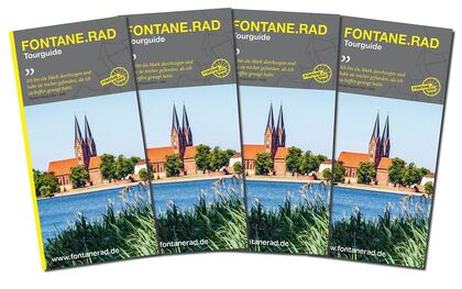
FONTANE.RAD Tourguide
Jetzt ansehen/bestellen
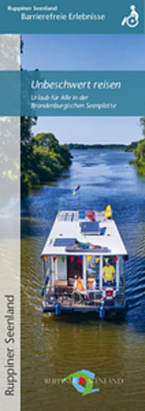
Unbeschwert reisen - Urlaub für Alle in der Brandenburgischen Seenplatte
Jetzt ansehen/bestellen
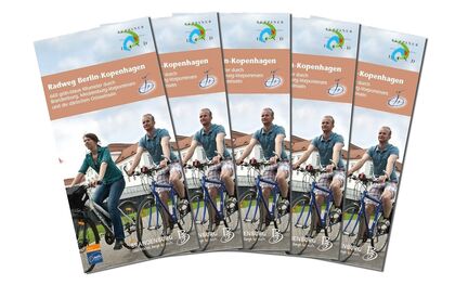
Radweg Berlin-Kopenhagen
Jetzt ansehen/bestellen
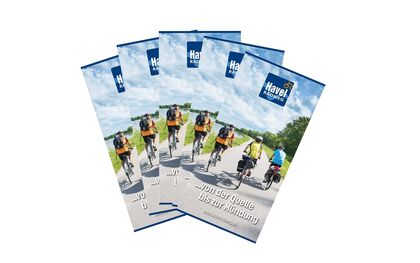
Havel-Radweg - von der Quelle bis zur Mündung
Jetzt ansehen/bestellen
Radeln nach Zahlen - Knotenpunkt-Radkarte
Jetzt ansehen/bestellen

Urlaubsregion

Tourismusverband Seenland Oder-Spree e.V.

Ulmenstraße 15
15526 Bad Saarow

Tel.: 033631-868100
Fax: 033631-868102

Wetter Heute, 13. 9.

16 16
Bedeckt

  • Montag
    13 20
  • Dienstag
    11 25

Alle Informationen, Zeiten und Preise werden regelmäßig geprüft und aktualisiert. Trotzdem können wir für die Richtigkeit der Daten keine Gewähr übernehmen. Wir empfehlen Ihnen, vor Ihrem Besuch telefonisch / per E-Mail oder über die Internetseiten des Anbieters den aktuellen Stand zu erfragen.

Anruf bei der TMB Urlaubshotline unter 0331-200 47 47 (+49) 03391 659630 Wir sind telefonisch für Sie da: Mo-Fr 08:30-16:30 Uhr.

Vielen Dank für deinen Besuch auf www.ruppiner-seenland.de

Diese Webseite wurde auf dem technisch aktuellsten Stand entwickelt. Leider benutzt du einen Browser, der nicht den technischen Anforderungen entspricht.

Wir bitten dich daher einen alternativen Browser (z.B. Google Chrome, Firefox oder Edge) zu verwenden und wünschen dir weiterhin viel Spaß auf unserer Webseite.

Logo www.ruppiner-seenland.de