Address
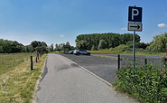
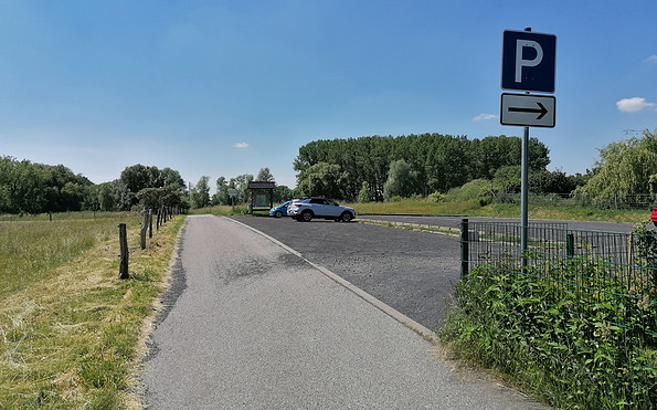
Parkplatz am Mühlenweg
Mühlenweg
16727 Schwante
Mühlenweg
16727 Schwante
Parkplatz am Mühlenweg
Mühlenweg
16727 Schwante
Mühlenweg
16727 Schwante
Touristinformation Oberkrämer
Lindenallee 71
16727 Vehlefanz
Lindenallee 71
16727 Vehlefanz